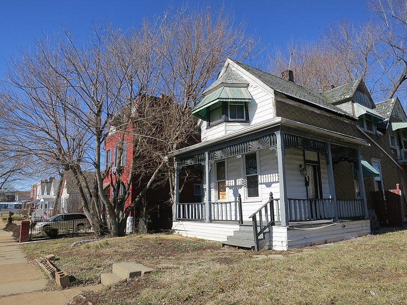
Kingsway West, St. Louis
Map

Gallery

Facts and practical information
Kingsway West is a neighborhood of St. Louis, Missouri. The Kingsway West neighborhood is defined by Union Boulevard to its north-west and Dr. Martin Luther King Drive to its south-west. Natural Bridge Avenue forms its north-east boundary and North Kingshighway is its southeast boundary. ()
Coordinates: 38°40'14"N, 90°15'36"W
Day trips
Kingsway West – popular in the area (distance from the attraction)
Nearby attractions include: The Ville, Lewis Place, Kingsway East, Penrose.
Frequently Asked Questions (FAQ)
Which popular attractions are close to Kingsway West?
Nearby attractions include Kingsway East, St. Louis (12 min walk), Wells/Goodfellow, St. Louis (16 min walk), Academy, St. Louis (24 min walk).


