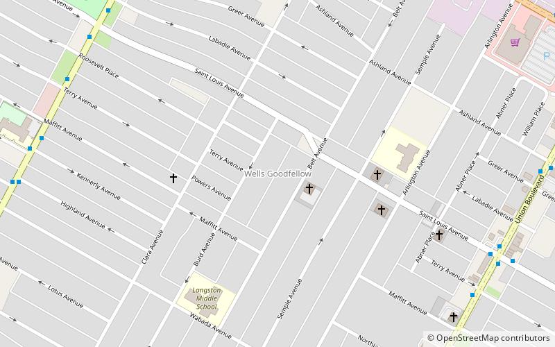
Wells/Goodfellow, St. Louis
Map

Map

Facts and practical information
Wells/Goodfellow is a neighborhood of St. Louis, Missouri. The borders of the neighborhood are defined by the St. Louis city limits on the north-western edge, Dr. Martin Luther King Drive to the south-west, Natural Bridge Avenue to the north-east, and Union Boulevard to the south-east. ()
Coordinates: 38°40'35"N, 90°16'7"W
Address
Wells-GoodfellowSt. Louis
ContactAdd
Social media
Add
Day trips
Wells/Goodfellow – popular in the area (distance from the attraction)
Nearby attractions include: Kingsway East, Kingsway West, Academy, Mark Twain/I-70 Industrial.
Frequently Asked Questions (FAQ)
Which popular attractions are close to Wells/Goodfellow?
Nearby attractions include Kingsway West, St. Louis (16 min walk), Mark Twain/I-70 Industrial, St. Louis (21 min walk).


