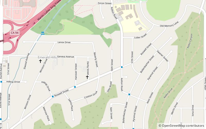
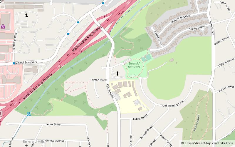
Emerald Hills, San Diego

Gallery (1)
Map
Map
Facts and practical information
Emerald Hills is a community in the southeastern section of the city of San Diego, California, United States. It is bordered by Oak Park and California State Route 94 on the north, Chollas View and Euclid Avenue on the west, Encanto on the east, and Valencia Park and Market Street on the south. Major thoroughfares include Kelton Road and Roswell Street. ()
Coordinates: 32°42'58"N, 117°4'35"W
Address
Southeastern San Diego (Emerald Hills)San Diego
ContactAdd
Social media
Add
Getting there by public transportation
Public transportation stops near this location
- Bus
- Light rail
 Bus
Bus
- Calculate routeEuclid Avenue 19 min walk
- Calculate routeEncanto/62nd Street 23 min walk
- Calculate route47th Street 31 min walk
- Calculate routeEncanto/62nd Street Trolley Station 22 min walk
Day trips

Frequently Asked Questions (FAQ)
Which popular attractions are close to Emerald Hills?
Nearby attractions include Christian Fellowship Congregational Church, San Diego (9 min walk), Chollas View, San Diego (23 min walk).
How to get to Emerald Hills by public transport?
The nearest stations to Emerald Hills:
Light rail
Bus
Light rail
- Euclid Avenue • Lines: 520 (19 min walk)
- Encanto/62nd Street • Lines: 520 (23 min walk)
Bus
- Encanto/62nd Street Trolley Station • Lines: 961 (22 min walk)