Southeast San Diego, San Diego
Map
Facts and practical information
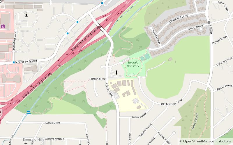
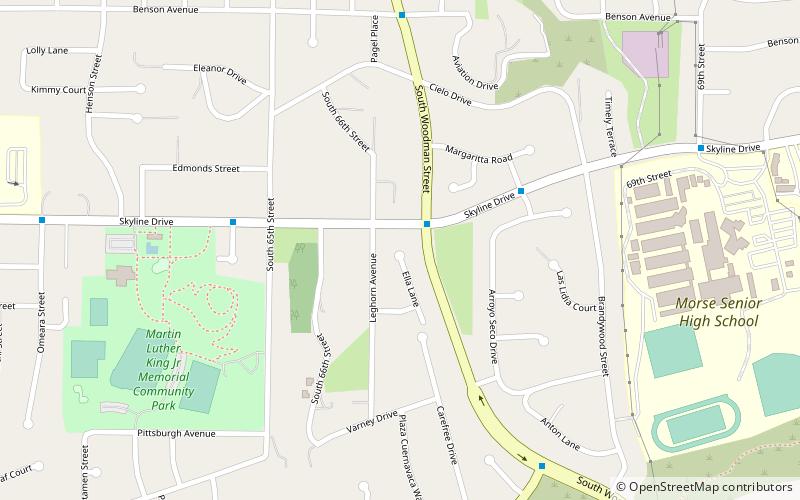
Southeast San Diego refers to the southeastern portion of the City of San Diego and the neighborhoods south of State Route 94 and east of Downtown San Diego. There are three official community planning areas: Skyline-Paradise Hills, Encanto Neighborhoods, and Southeastern. ()
Coordinates: 32°42'3"N, 117°3'19"W
Address
Southeastern San Diego (Encanto)San Diego
ContactAdd
Social media
Add
Day trips
Southeast San Diego – popular in the area (distance from the attraction)
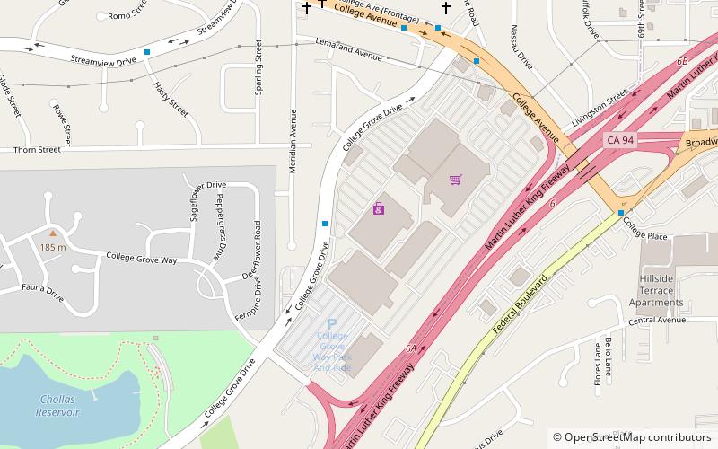
Nearby attractions include: Westfield Plaza Bonita, Christian Fellowship Congregational Church, Sweetwater Dam, College Grove Shopping Center.
Frequently Asked Questions (FAQ)
How to get to Southeast San Diego by public transport?
The nearest stations to Southeast San Diego:
Light rail
Bus
Light rail
- Encanto/62nd Street • Lines: 520 (21 min walk)
Bus
- Encanto/62nd Street Trolley Station • Lines: 961 (21 min walk)

