O'Farrell, San Diego
Map
Facts and practical information
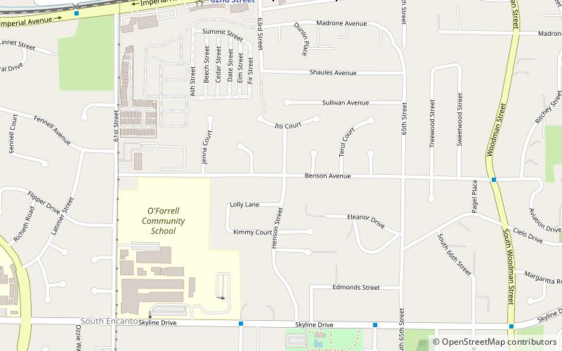
O'Farrell is an urban neighborhood in the southeastern region of San Diego, California. The community borders the neighborhoods of Encanto to the north, Skyline and North Bay Terrace to the east, Alta Vista to the south, and Valencia Park to the west. ()
Coordinates: 32°42'19"N, 117°3'42"W
Address
Southeastern San Diego (Encanto)San Diego
ContactAdd
Social media
Add
Getting there by public transportation
Public transportation stops near this location
- Bus
- Light rail
 Bus
Bus
- Calculate routeEncanto/62nd Street 10 min walk
- Calculate routeEncanto/62nd Street Trolley Station 10 min walk
Day trips

Frequently Asked Questions (FAQ)
How to get to O'Farrell by public transport?
The nearest stations to O'Farrell:
Light rail
Bus
Light rail
- Encanto/62nd Street • Lines: 520 (10 min walk)
Bus
- Encanto/62nd Street Trolley Station • Lines: 961 (10 min walk)