Rosemill, Lexington
Map
Facts and practical information
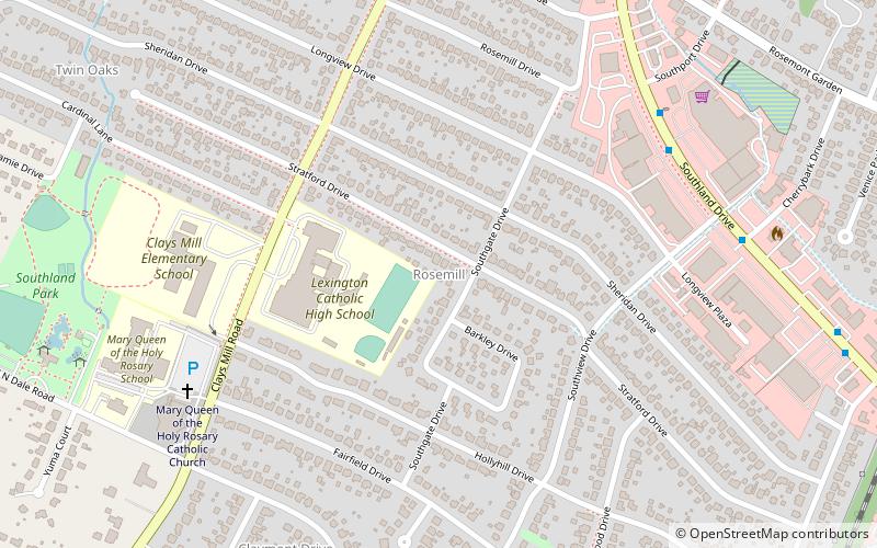
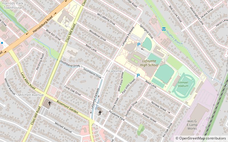
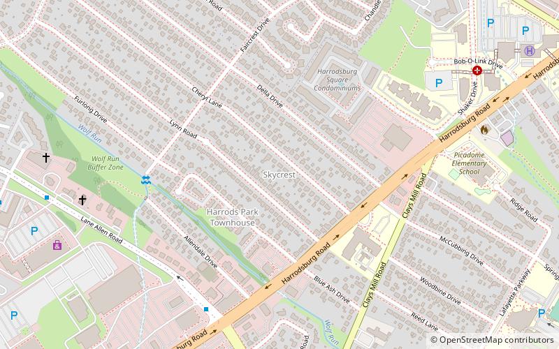
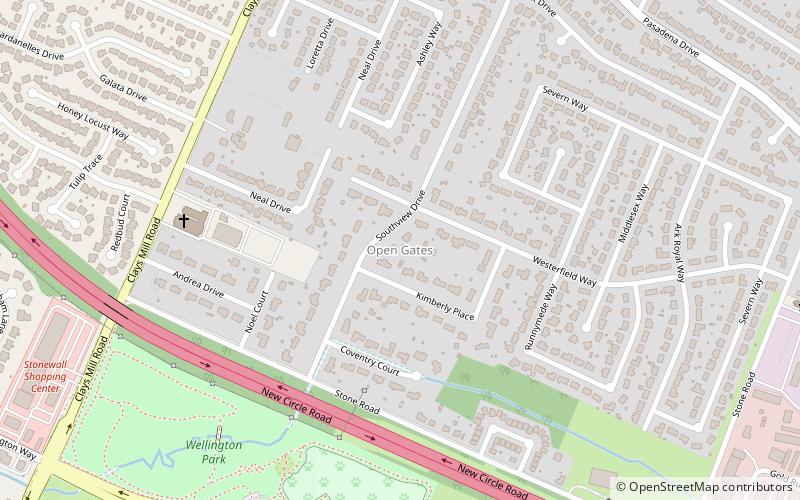
Rosemill is a neighborhood in southwestern Lexington, Kentucky, United States. Its boundaries are Southland Drive and Rosemont Garden to the north, Clays Mill Road to the west, and Hill-N-Dale Road to the south. Lexington Catholic High School has been located in the center of the neighborhood since 1957. ()
Coordinates: 38°1'3"N, 84°31'56"W
Address
RosemillLexington
ContactAdd
Social media
Add
Getting there by public transportation
Public transportation stops near this location
- Bus
 Bus
Bus
- Calculate route226 - Southland @ 450 Inbound 8 min walk
- Calculate route236 - Southland @ 353 Outbound 11 min walk
- Calculate route228 - Southland @ Eastway Inbound 12 min walk
- Calculate route5025 - Southland @ Rainbow Inbound 21 min walk
Day trips


Frequently Asked Questions (FAQ)
Which popular attractions are close to Rosemill?
Nearby attractions include Oleika Shrine Temple, Lexington (10 min walk), Hill N Dale, Lexington (10 min walk), Thoroughbred Heritage Horse Farm Tours, Lexington (13 min walk), Picadome, Lexington (16 min walk).
How to get to Rosemill by public transport?
The nearest stations to Rosemill:
Bus
Bus
- 226 - Southland @ 450 Inbound • Lines: 16 Southland Dr (8 min walk)
- 236 - Southland @ 353 Outbound • Lines: 16 Southland Dr (11 min walk)