Skycrest, Lexington
Map
Facts and practical information
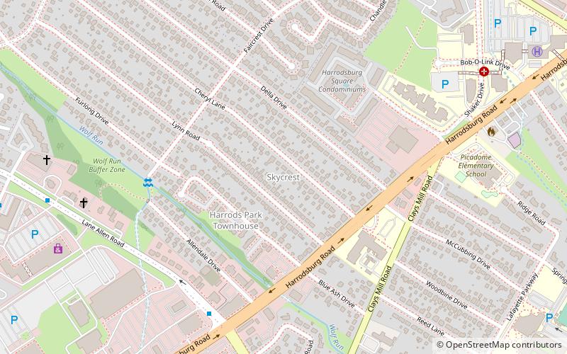
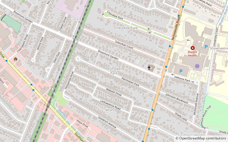
Skycrest is a neighborhood in southwestern Lexington, Kentucky, United States. It takes its name from its location on a ridge between Wolf Run Creek and Vaughns Branch Creek that provides a panoramic view downtown Lexington. Its boundaries are Della Drive to the north, Beacon Hill Drive to the west, Furlong Drive and Spring Meadows Drive to the south, and Harrodsburg Road to the east. ()
Coordinates: 38°1'49"N, 84°31'59"W
Address
SkycrestLexington
ContactAdd
Social media
Add
Getting there by public transportation
Public transportation stops near this location
- Bus
 Bus
Bus
- Calculate route226 - Southland @ 450 Inbound 21 min walk
- Calculate route236 - Southland @ 353 Outbound 27 min walk
- Calculate route228 - Southland @ Eastway Inbound 28 min walk
- Calculate route1367 - Nicholasville @ Dantzler Outbound 32 min walk
Day trips


Frequently Asked Questions (FAQ)
Which popular attractions are close to Skycrest?
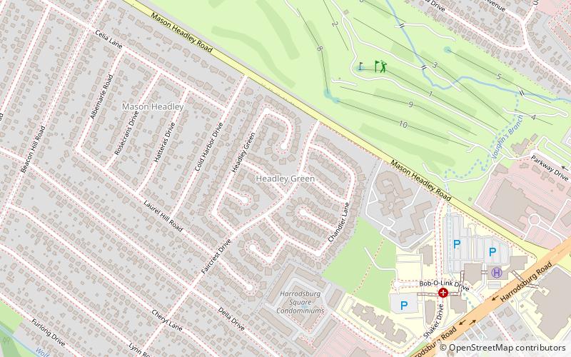
Nearby attractions include Headley Green, Lexington (10 min walk), Thoroughbred Heritage Horse Farm Tours, Lexington (11 min walk), Picadome, Lexington (13 min walk), Mason Headley, Lexington (13 min walk).
How to get to Skycrest by public transport?
The nearest stations to Skycrest:
Bus
Bus
- 226 - Southland @ 450 Inbound • Lines: 16 Southland Dr (21 min walk)
- 236 - Southland @ 353 Outbound • Lines: 16 Southland Dr (27 min walk)