Headley Green, Lexington
Map
Facts and practical information
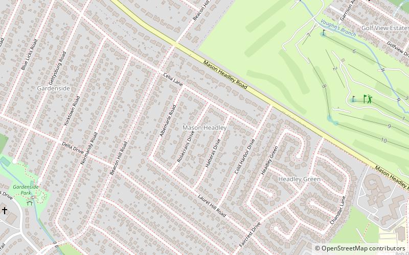
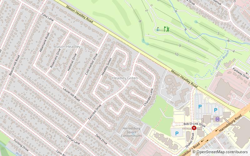
Headley Green is a neighborhood in southwestern Lexington, Kentucky, United States. It was built in the early 1990s from land that had previously been an 18-hole par 3 golf course, a putt-putt course and a driving range for public use. It was also lighted so many people like to play at night. Its boundaries are Mason Headley Road to the north, Cold Harbor Drive to the west, Laurel Hill Road to the south, and the St. Joseph Medical Office Complex to the east. ()
Area: 44.16 acres (0.069 mi²)Coordinates: 38°2'7"N, 84°31'55"W
Address
Lexington
ContactAdd
Social media
Add
Day trips
Headley Green – popular in the area (distance from the attraction)
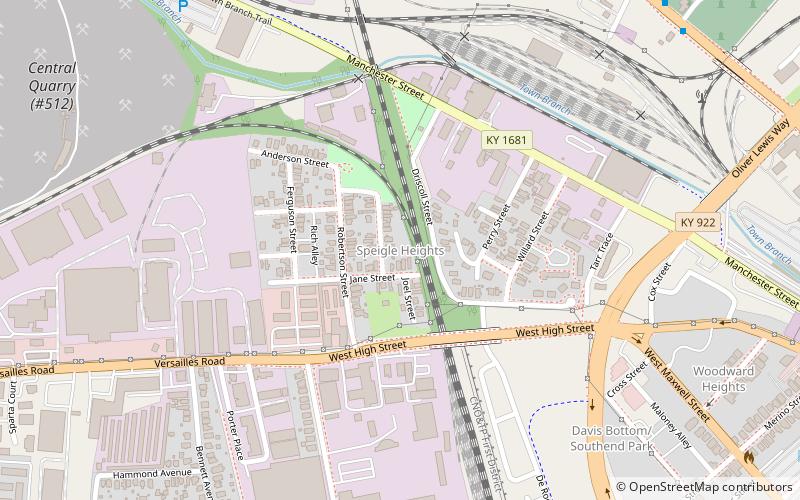
Nearby attractions include: The Red Mile, Thoroughbred Heritage Horse Farm Tours, Davis Bottom, Speigle Heights.
Frequently Asked Questions (FAQ)
Which popular attractions are close to Headley Green?
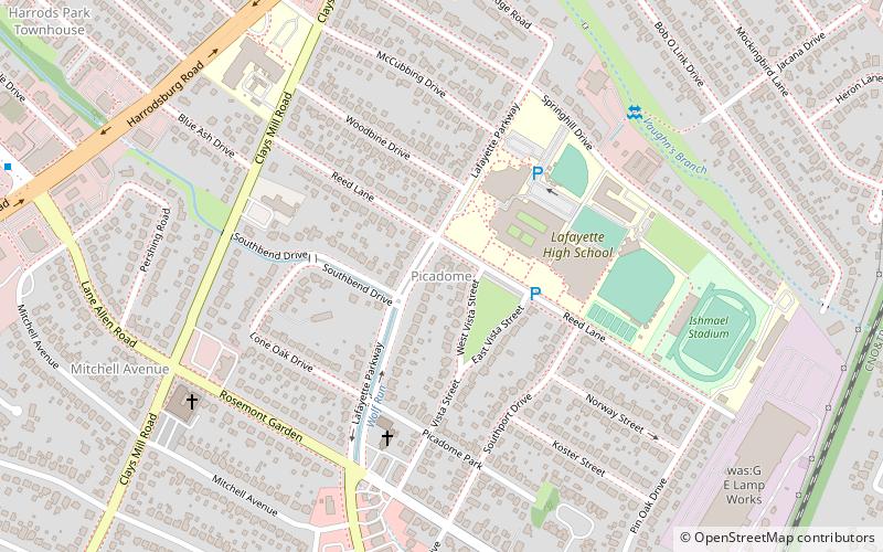
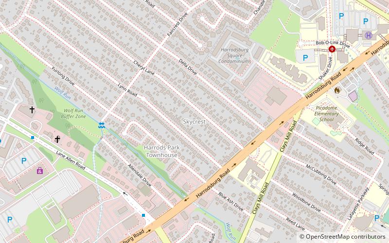
Nearby attractions include Mason Headley, Lexington (7 min walk), Lexington Parks and Recreation Center, Lexington (10 min walk), Skycrest, Lexington (10 min walk), Golf View Estates, Lexington (12 min walk).
How to get to Headley Green by public transport?
The nearest stations to Headley Green:
Bus
Bus
- 226 - Southland @ 450 Inbound • Lines: 16 Southland Dr (29 min walk)
- 1366 - Nicholasville @ Forest Park Outbound • Lines: 16 Southland Dr, 5, 5 Nicholasville Road (33 min walk)
