Fort Lincoln, Washington D.C.
Map
Facts and practical information
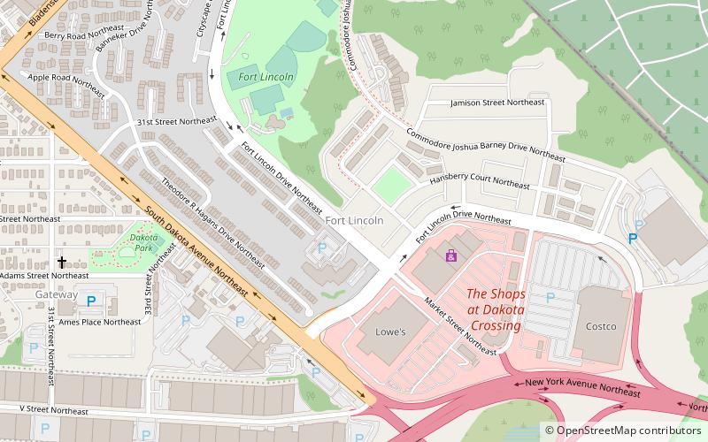
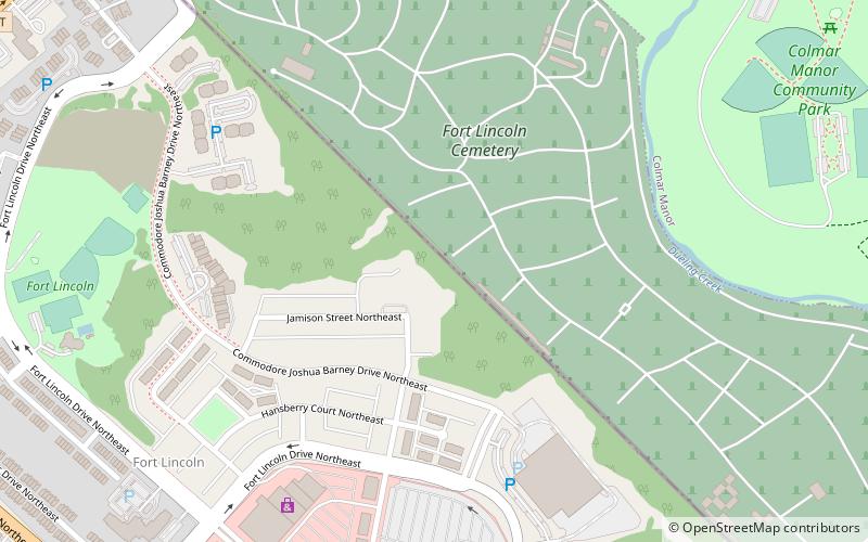
Fort Lincoln is a neighborhood located in northeastern Washington, D.C. It is bounded by Bladensburg Road to the northwest, Eastern Avenue to the northeast, New York Avenue NE to the south, and South Dakota Avenue NE to the southwest. The town of Colmar Manor, Maryland, is across Eastern Avenue from the Fort Lincoln neighborhood, as is the Fort Lincoln Cemetery. ()
Area: 0.47 mi²Coordinates: 38°55'20"N, 76°57'23"W
Address
Northeast Washington (Woodridge - Fort Lincoln)Washington D.C.
ContactAdd
Social media
Add
Getting there by public transportation
Public transportation stops near this location
- Bus
 Bus
Bus
- Calculate routeDeanwood Metro 39 min walk
Day trips


Frequently Asked Questions (FAQ)
Which popular attractions are close to Fort Lincoln?
Nearby attractions include Fort Lincoln, Washington D.C. (9 min walk), Amtrak Railroad Anacostia Bridge, Washington D.C. (20 min walk), Goshin, Washington D.C. (21 min walk), United States National Arboretum, Washington D.C. (23 min walk).
How to get to Fort Lincoln by public transport?
The nearest stations to Fort Lincoln:
Bus
Bus
- Deanwood Metro • Lines: R12, U7, W4 (39 min walk)