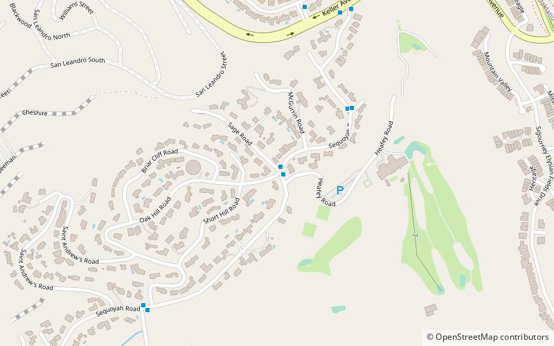
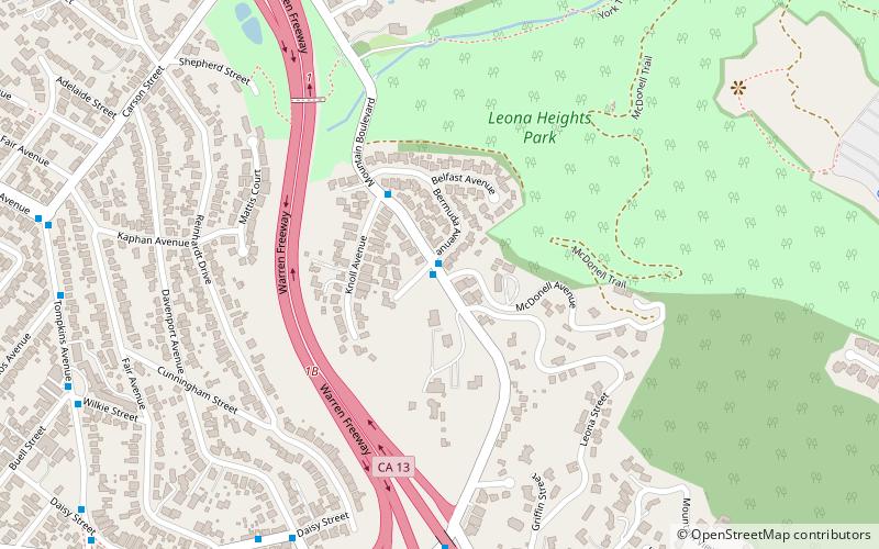
Ridgemont, Oakland
Facts and practical information
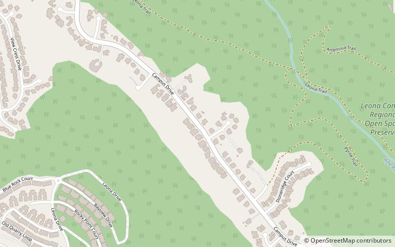
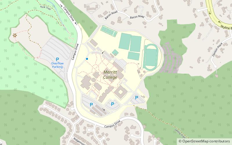
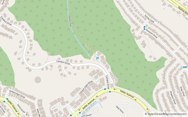
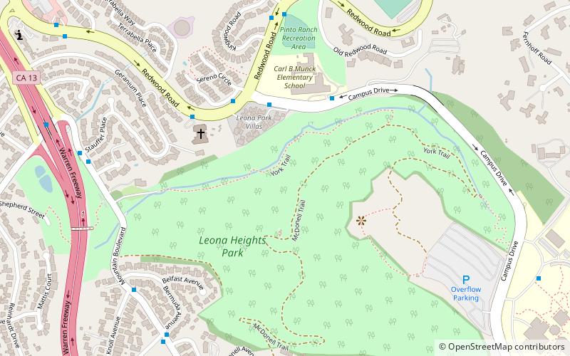
Ridgemont is a neighborhood in Oakland, California, next to Merritt College along Campus Drive, the main thoroughfare at the ridgeline. First developed in the 1970s and 1980s, the neighborhood began as a subdivision of large, pre-designed, fairly uniform, redwood suburban-style homes. As the Ridgemont subdivision grew, new construction brought to it large estates, both subdivision planned and individual architect-designed. These, the largest homes of the neighborhood, were placed on the neighborhood crest and nearby highest points of the hillsides to take advantage of three-bridge views of the Bay. A newer subdivision,"Monte Vista Homes," on the lower slopes below the Ridgemont subdivision, commenced in 2005 as Desilva, a real estate developer, began building on slopes of the defunct Leona quarry. In preparation for the new subdivision, the development team subcontracted land restoration teams so that the former quarry underwent extensive land recovery ––including the replanting of fire-resistant, native plants for soil retention and beautification––prior to homes construction. But the quarry's outlines – the massive carving out of the hillside over decades – is still visible from as far away as San Francisco. ()
South Hills (Caballo Hills)Oakland
- Bus
 Bus
Bus
- Calculate routeMerritt College 20 min walk
- Calculate routeMountain Boulevard & Shone Avenue 21 min walk
- Calculate routeHillmont Drive & Altamont Avenue 21 min walk


Frequently Asked Questions (FAQ)
Which popular attractions are close to Ridgemont?
How to get to Ridgemont by public transport?
Bus
- Merritt College • Lines: 54 (20 min walk)
- Mountain Boulevard & Shone Avenue • Lines: 46 (21 min walk)