Tendernob, San Francisco
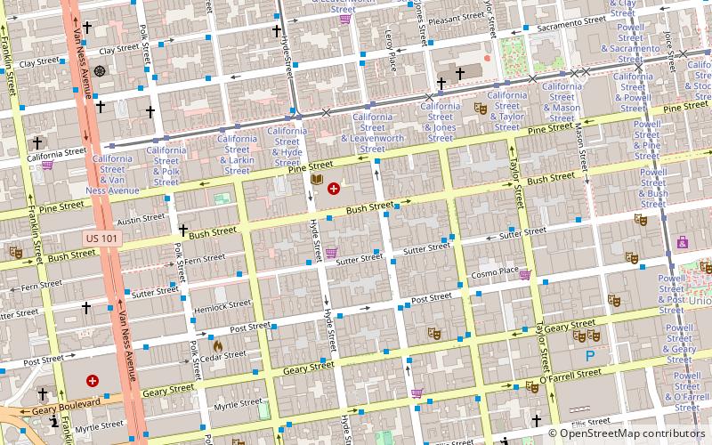
Map
Facts and practical information
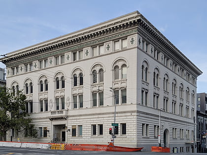
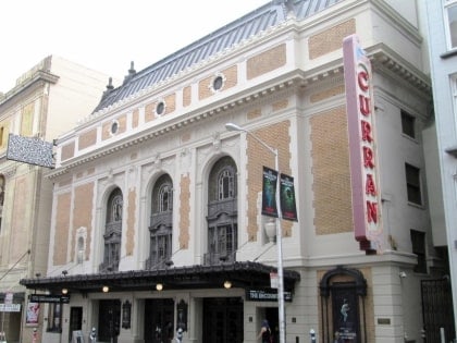
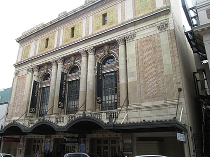
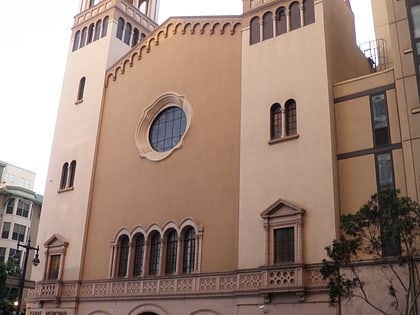
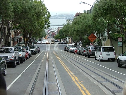
The Tendernob is an area in San Francisco, California between Nob Hill area to the north and the Tenderloin to the south. The name is a portmanteau of Tenderloin and Nob Hill, and is often used by realtors for marketing purposes. ()
Coordinates: 37°47'20"N, 122°24'58"W
Address
Northeast San Francisco (Lower Nob Hill)San Francisco
ContactAdd
Social media
Add
Day trips
Tendernob – popular in the area (distance from the attraction)
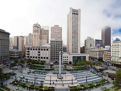
Nearby attractions include: Great American Music Hall, The Regency Ballroom, Cable Car Museum, Dewey Monument.
Frequently Asked Questions (FAQ)
Which popular attractions are close to Tendernob?
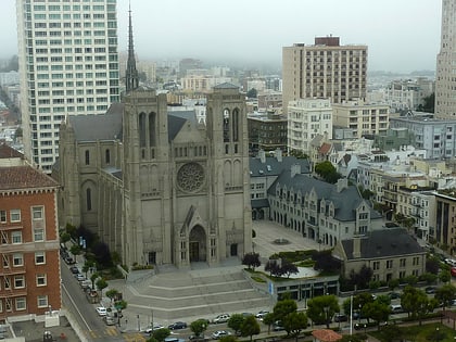
Nearby attractions include Grace Cathedral, San Francisco (6 min walk), The Masonic, San Francisco (6 min walk), Polk Street, San Francisco (6 min walk), Marines' Memorial Club, San Francisco (7 min walk).
How to get to Tendernob by public transport?
The nearest stations to Tendernob:
Bus
Tram
Trolleybus
Light rail
Metro
Train
Bus
- Bush Street & Hyde Street • Lines: 27 (1 min walk)
- Leavenworth Street & Sutter Street • Lines: 27 (2 min walk)
Tram
- California Street & Leavenworth Street (4 min walk)
- California Street & Hyde Street (5 min walk)
Trolleybus
- Sacramento Street & Leavenworth Street • Lines: 1 (6 min walk)
Light rail
- Powell Street • Lines: K, N, S, T (15 min walk)
- Civic Center • Lines: K, N, S, T (17 min walk)
Metro
- Powell Street • Lines: Blue, Green, Red, Yellow (15 min walk)
- Civic Center • Lines: Blue, Green, Red, Yellow (17 min walk)
Train
- San Francisco 4th & King Street (37 min walk)
 Muni Metro
