Rouge Steel, Dearborn

Map
Facts and practical information
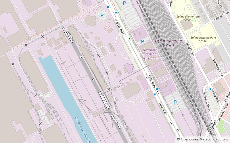
This steelmaking plant was originally part of the Ford Motor Company, which created an integrated manufacturing complex to produce all major vehicle components at one large facility called The Rouge. In 1989, Ford's steel mill assets were divested and became known as Rouge Industries with the steel operations trading as Rouge Steel Company in Dearborn, Michigan, outside of Detroit. ()
Coordinates: 42°18'13"N, 83°9'18"W
Address
Dearborn (Ford River Rouge Complex)Dearborn
ContactAdd
Social media
Add
Day trips
Rouge Steel – popular in the area (distance from the attraction)
Nearby attractions include: Dearborn Mosque, Woodmere Cemetery, SS Ste. Claire, West Vernor–Lawndale Historic District.
Frequently Asked Questions (FAQ)
Which popular attractions are close to Rouge Steel?
Nearby attractions include SS Ste. Claire, Detroit (15 min walk), Dearborn Mosque, Dearborn (15 min walk), Woodmere Cemetery, Detroit (24 min walk).
How to get to Rouge Steel by public transport?
The nearest stations to Rouge Steel:
Bus
Bus
- Miller / Ford Dearborn #2 • Lines: 54 (6 min walk)


