Garden of Peace, Boston
Map
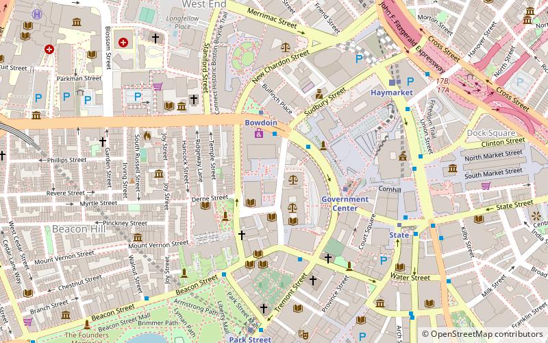
Map

Facts and practical information
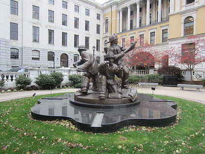
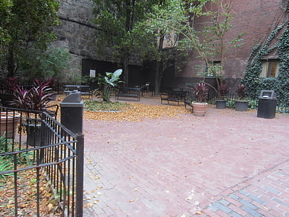
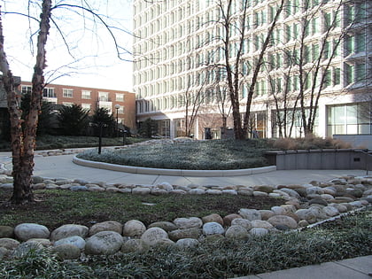
The Garden of Peace in Boston, Massachusetts, is a memorial commemorating victims of homicide and a living reminder of the impact of violence. It is a visual testament to the need for eliminating violence. The Garden of Peace, is a memorial to homicide victims. It is a symbol of hope for peace and renewal in our lives, our community, and the world. ()
Coordinates: 42°21'36"N, 71°3'42"W
Day trips
Garden of Peace – popular in the area (distance from the attraction)
Nearby attractions include: Freedom Trail, Government Center, Massachusetts State House, Boston Athenæum.
Frequently Asked Questions (FAQ)
Which popular attractions are close to Garden of Peace?
Nearby attractions include Suffolk County Courthouse, Boston (2 min walk), Bowdoin Street, Boston (2 min walk), Pemberton Square, Boston (2 min walk), Mount Vernon Church, Boston (2 min walk).
How to get to Garden of Peace by public transport?
The nearest stations to Garden of Peace:
Metro
Light rail
Bus
Train
Metro
- Bowdoin • Lines: Blue (3 min walk)
- Government Center • Lines: Blue (3 min walk)
Light rail
- Government Center • Lines: C, D, E (3 min walk)
- Haymarket • Lines: C, E (7 min walk)
Bus
- Tremont St opp Temple Pl • Lines: 55 (8 min walk)
- Federal St @ Franklin St • Lines: 504 (11 min walk)
Train
- Boston North Station (12 min walk)
- Boston South Station (18 min walk)
 MBTA Subway