Castor Temple, Grand Canyon National Park
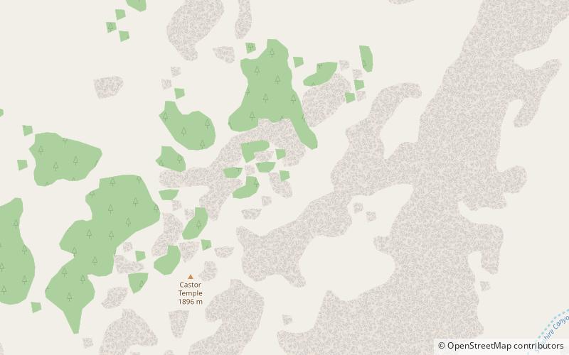
Map
Facts and practical information
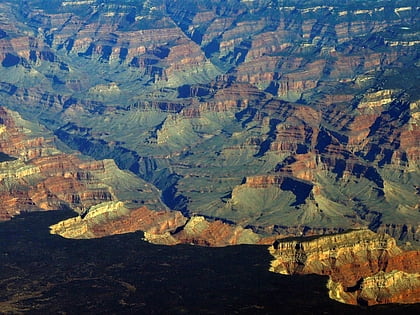
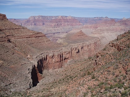
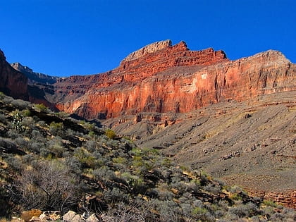
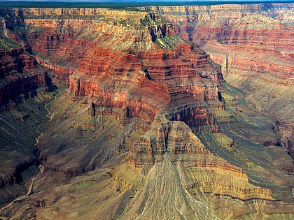
Castor is a 6,221-foot-elevation summit located in the Grand Canyon, in Coconino County of northern Arizona, United States. It is situated 11 miles west-northwest of Grand Canyon Village, and less than one mile north of Piute Point. Pollux Temple is one mile southeast, and Geikie Peak is three miles to the east. Topographic relief is significant as Castor Temple rises over 3,800 feet above the Colorado River in two miles. ()
Coordinates: 36°7'44"N, 112°19'7"W
Address
Grand Canyon National Park
ContactAdd
Social media
Add
Day trips
Castor Temple – popular in the area (distance from the attraction)
Nearby attractions include: Tuna Canyon, Boucher Trail, Pollux Temple, Topaz Canyon.
