Dewey Square, Boston
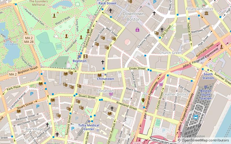
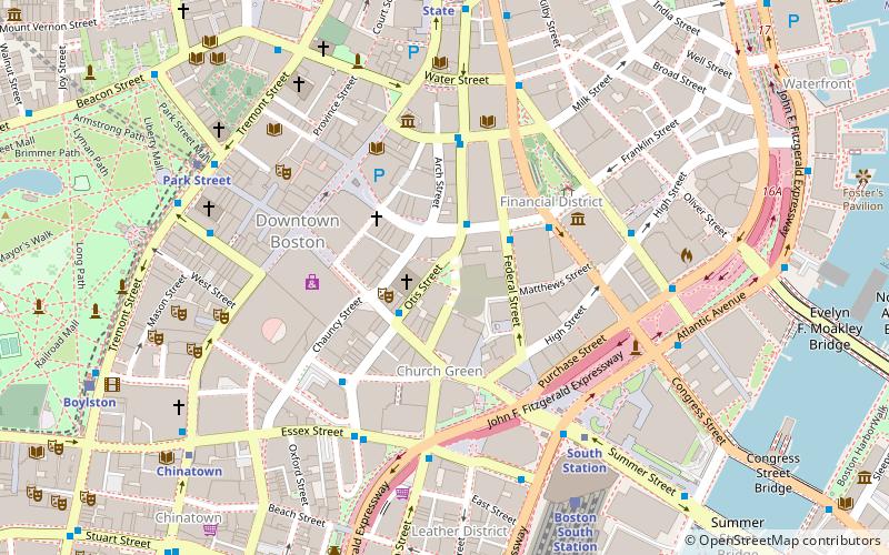
Map
Gallery
Facts and practical information
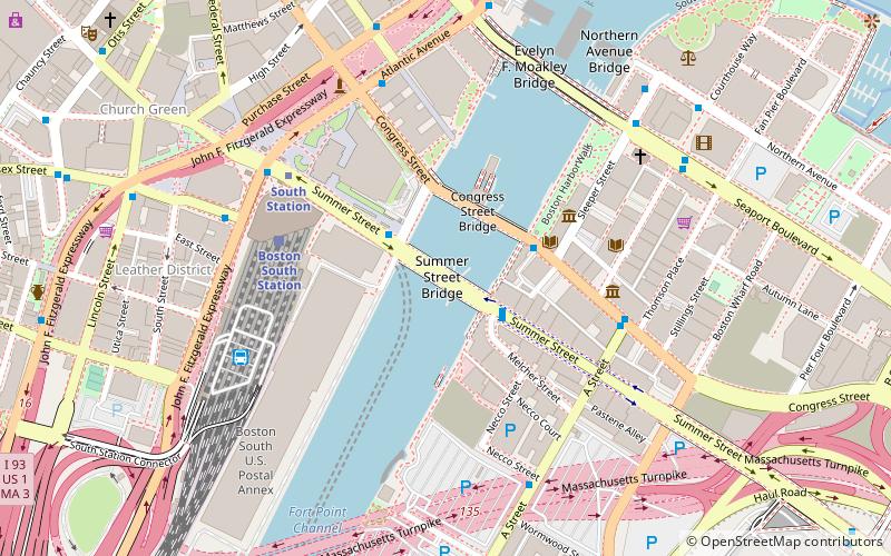
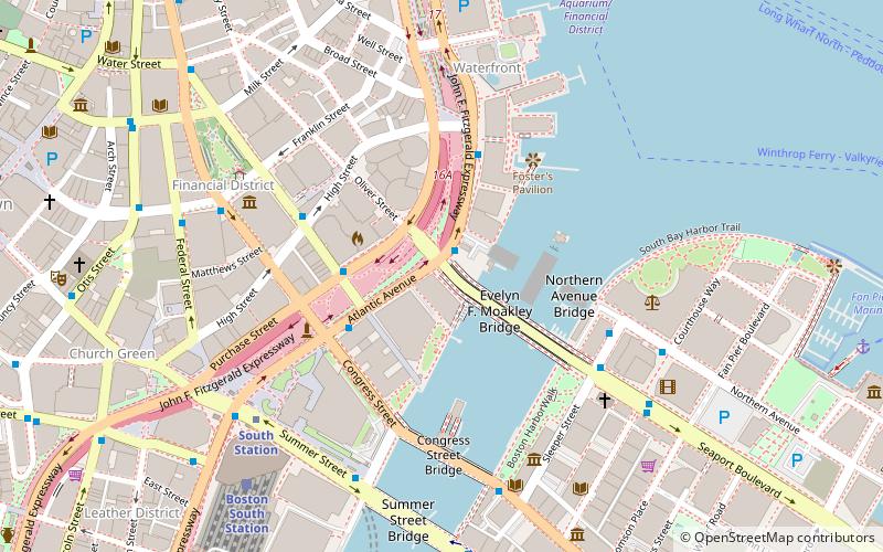
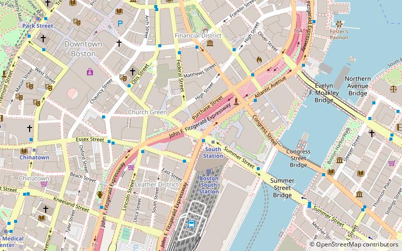
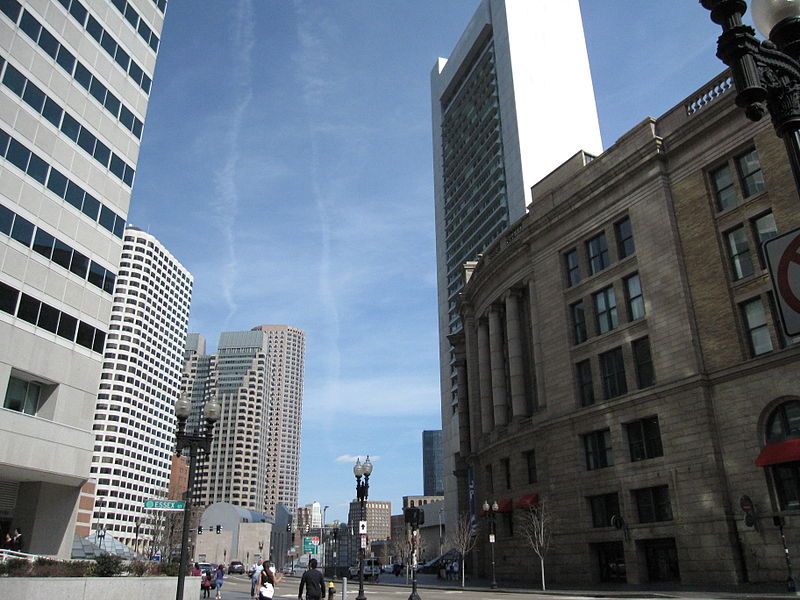
Dewey Square is a square in downtown Boston, Massachusetts which lies at the intersection of Atlantic Avenue, Summer Street, Federal Street, Purchase Street and the John F. Kennedy Surface Road, with the Central Artery passing underneath in the Dewey Square Tunnel and Big Dig. South Station is on the southeast corner of the square, with Amtrak and MBTA Commuter Rail services, as well as Red Line subway trains and Silver Line bus rapid transit underneath. ()
Elevation: 16 ft a.s.l.Coordinates: 42°21'11"N, 71°3'20"W
Day trips
Dewey Square – popular in the area (distance from the attraction)
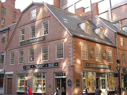
Nearby attractions include: Downtown Crossing, Old South Meeting House, Summer Street Bridge, Evelyn Moakley Bridge.
Frequently Asked Questions (FAQ)
Which popular attractions are close to Dewey Square?
Nearby attractions include One Financial Center, Boston (2 min walk), Federal Reserve Bank Building, Boston (3 min walk), South Station Tower, Boston (3 min walk), Gallery East, Boston (4 min walk).
How to get to Dewey Square by public transport?
The nearest stations to Dewey Square:
Metro
Train
Bus
Light rail
Metro
- South Station • Lines: Red (2 min walk)
- Downtown Crossing • Lines: Orange, Red (8 min walk)
Train
- Boston South Station (3 min walk)
- Boston North Station (25 min walk)
Bus
- Lincoln St @ Essex St • Lines: 504 (4 min walk)
- Federal St @ Franklin St • Lines: 504 (5 min walk)
Light rail
- Park Street • Lines: B, C, D, E (11 min walk)
- Boylston • Lines: B, C, D, E (12 min walk)

 MBTA Subway

