Flat Rock Dam, Philadelphia
Map

Map

Facts and practical information
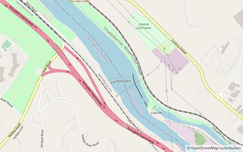
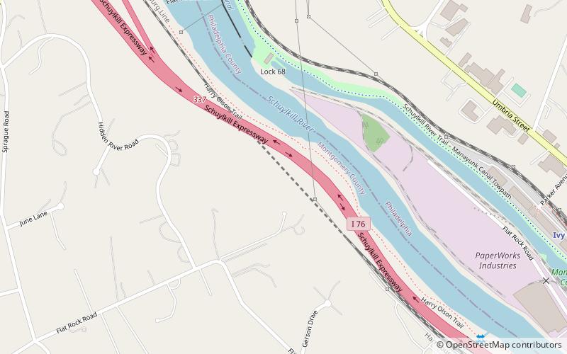
The Flat Rock Dam is an earthen dam across the Schuylkill River. The river flows through the dam at a rate of about 2540 CFS. A future hydroelectric project plans to place turbines to generate 1.5 MW of electricity. ()
Coordinates: 40°2'23"N, 75°14'49"W
Address
Lower Northwest (Dearnley Park)Philadelphia
ContactAdd
Social media
Add
Day trips
Flat Rock Dam – popular in the area (distance from the attraction)
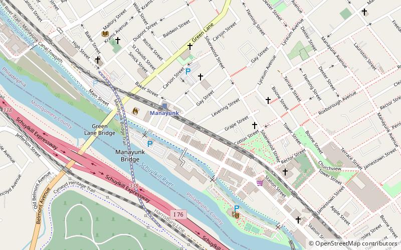
Nearby attractions include: Green Lane Bridge, Manayunk Bridge, Manayunk, Flat Rock Tunnel.
Frequently Asked Questions (FAQ)
How to get to Flat Rock Dam by public transport?
The nearest stations to Flat Rock Dam:
Train
Train
- Ivy Ridge (19 min walk)
- Manayunk (37 min walk)

 SEPTA Regional Rail


