Flat Rock Tunnel, Philadelphia
Map
Facts and practical information
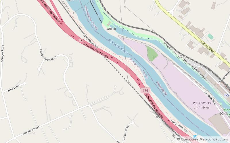
The Flat Rock Tunnel is an active railroad tunnel located on Norfolk Southern's Harrisburg Line near Manayunk, Pennsylvania, United States. The tunnel was built by the Reading Railroad for its line along the Schuylkill River. ()
Coordinates: 40°2'7"N, 75°14'39"W
Address
Main Line (Narberth)Philadelphia
ContactAdd
Social media
Add
Getting there by public transportation
Public transportation stops near this location
- Train
 Train
Train
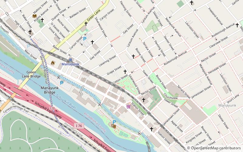
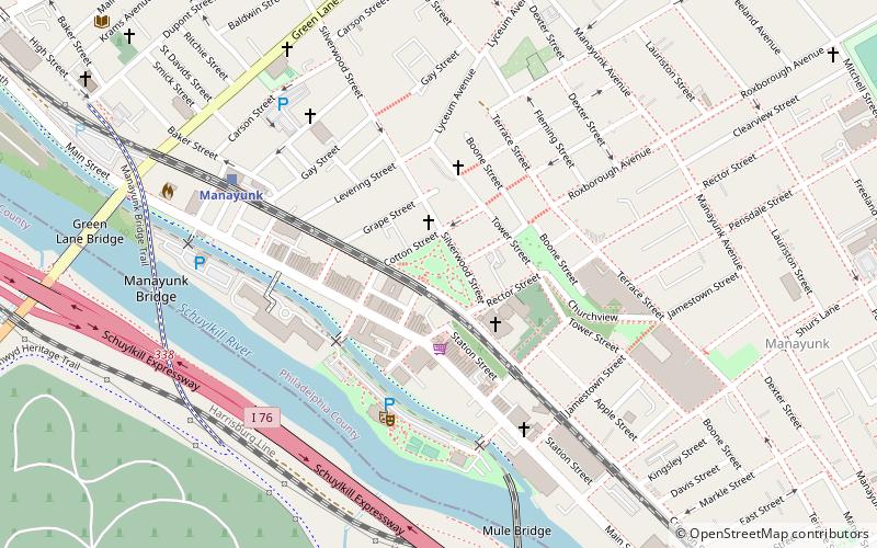
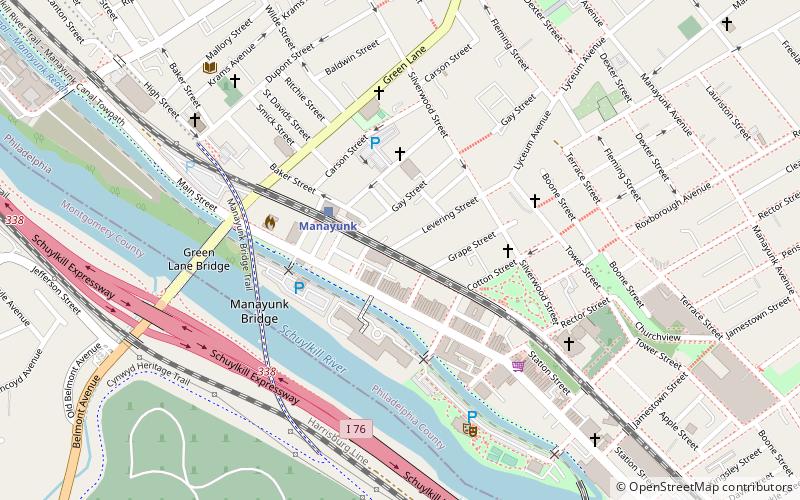
- Calculate routeIvy Ridge 12 min walk
- Calculate routeManayunk 30 min walk
Maps SEPTA Regional Rail
SEPTA Regional RailDay trips


Frequently Asked Questions (FAQ)
How to get to Flat Rock Tunnel by public transport?
The nearest stations to Flat Rock Tunnel:
Train
Train
- Ivy Ridge (12 min walk)
- Manayunk (30 min walk)