Manayunk, Philadelphia
Map
Facts and practical information
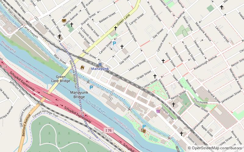
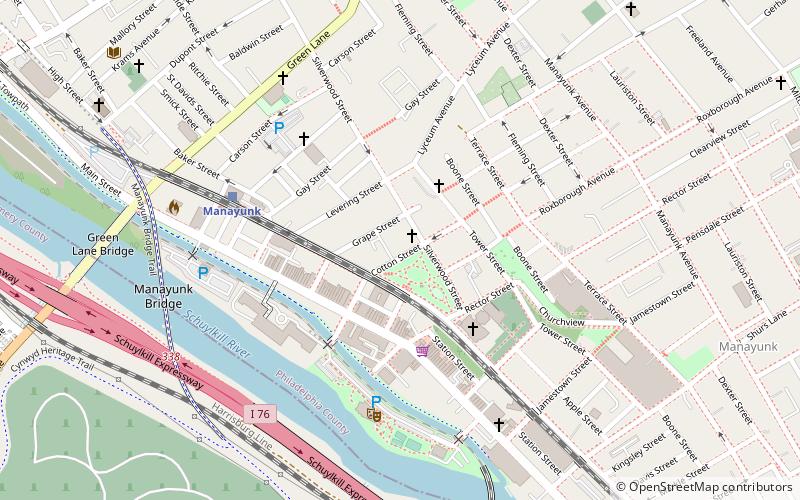
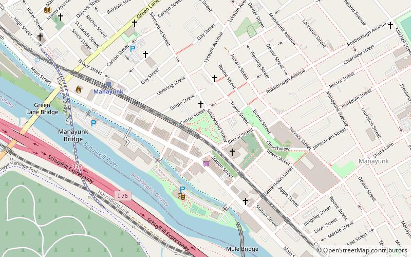
Manayunk is a neighborhood in the section of Lower Northwest Philadelphia in the state of Pennsylvania. Located adjacent to the neighborhoods of Roxborough and Wissahickon and also on the banks of the Schuylkill River, Manayunk contains the first canal begun in the United States. The area's name is derived from the language of the Lenape Indians. In 1686-dated papers between William Penn and the Lenape, the Lenape referred to the Schuylkill River as "Manaiung", their word for "river", which literally translates as "place to drink"; the word was later altered and adopted as the town's name. ()
Coordinates: 40°1'35"N, 75°13'25"W
Address
Lower Northwest (Manayunk)Philadelphia
ContactAdd
Social media
Add
Getting there by public transportation
Public transportation stops near this location
- Train
 Train
Train
- Calculate routeManayunk 3 min walk
- Calculate routeIvy Ridge 22 min walk
- Calculate routeWissahickon 25 min walk
Maps SEPTA Regional Rail
SEPTA Regional RailDay trips


Frequently Asked Questions (FAQ)
Which popular attractions are close to Manayunk?
Nearby attractions include St. Josaphat Roman Catholic Church in Philadelphia, Philadelphia (3 min walk), Pretzel Park, Philadelphia (4 min walk), Manayunk Wall, Philadelphia (4 min walk), Manayunk Bridge, Philadelphia (5 min walk).
How to get to Manayunk by public transport?
The nearest stations to Manayunk:
Train
Train
- Manayunk (3 min walk)
- Ivy Ridge (22 min walk)