West Philadelphia Streetcar Suburb Historic District, Philadelphia

Map
Facts and practical information
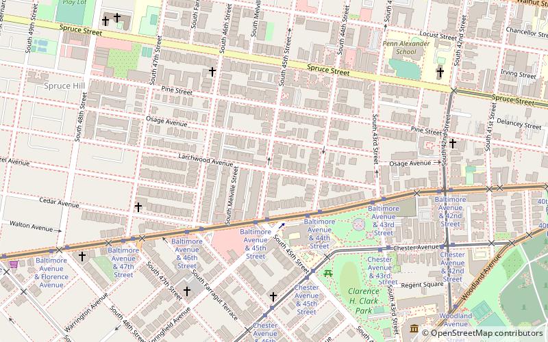
The West Philadelphia Streetcar Suburb Historic District is an area of West Philadelphia listed on the National Register of Historic Places. It represented the transformation of Philadelphia's rural farmland into urban residential development, made possible by the streetcar, which provided easy access to Center City. This is an early example of the streetcar suburb. ()
Coordinates: 39°57'1"N, 75°12'45"W
Address
West Philadelphia (Spruce Hill)Philadelphia
ContactAdd
Social media
Add
Day trips
West Philadelphia Streetcar Suburb Historic District – popular in the area (distance from the attraction)
Nearby attractions include: Masjid Al-Jamia, Saint Mary's Church, Institute of Contemporary Art, Clark Park.
Frequently Asked Questions (FAQ)
Which popular attractions are close to West Philadelphia Streetcar Suburb Historic District?
Nearby attractions include Clark Park, Philadelphia (1 min walk), St. Francis de Sales Roman Catholic Church, Philadelphia (7 min walk), Spruce Hill, Philadelphia (8 min walk), Calvary United Methodist Church, Philadelphia (9 min walk).
How to get to West Philadelphia Streetcar Suburb Historic District by public transport?
The nearest stations to West Philadelphia Streetcar Suburb Historic District:
Tram
Train
Metro
Bus
Tram
- Baltimore Avenue & 45th Street • Lines: 34 (3 min walk)
Train
- 49th Street (13 min walk)
- Penn Medicine (31 min walk)
Metro
- 46th Street • Lines: Mfl (15 min walk)
- 40th Street • Lines: Mfl (19 min walk)
Bus
- Market St & 39th St • Lines: 40 (22 min walk)
 SEPTA Regional Rail


