Mosque No. 11, Boston
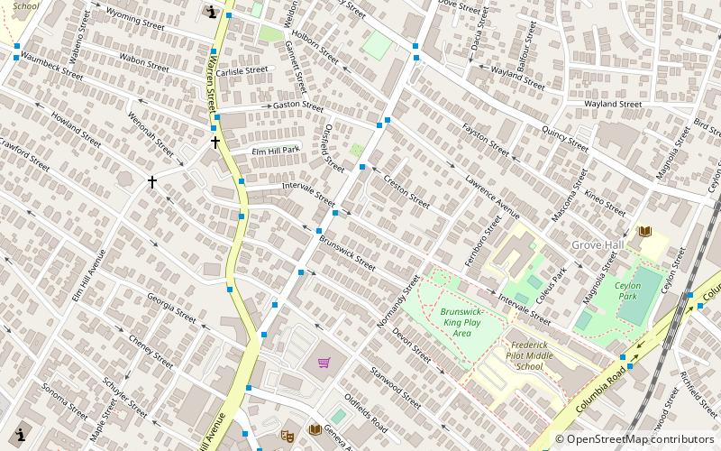
Map

Map

Facts and practical information
Mosque No. 11, also known as Masjid Al-Quran, was a mosque in Boston, Massachusetts. The building came to prominence in the late 1950s when it was leased by the Nation of Islam and placed under the direction of Malcolm X, who was a minister there and at Mosques No. 7 and No. 12 until he left the religion for Sunni Islam in 1964. ()
Coordinates: 42°18'42"N, 71°4'49"W
Address
Roxbury (Dudley - Brunswick King)Boston
ContactAdd
Social media
Add
Day trips
Mosque No. 11 – popular in the area (distance from the attraction)
Nearby attractions include: William J. Devine Memorial Golf Course, Franklin Park Zoo, South Bay Shopping Center, Shirley-Eustis House.
Frequently Asked Questions (FAQ)
Which popular attractions are close to Mosque No. 11?
Nearby attractions include Intervale Street-Blue Hill Avenue Historic District, Boston (1 min walk), Congregation Adath Jeshurun, Boston (2 min walk), Elm Hill Park Historic District, Boston (4 min walk), Lawrence Avenue Historic District, Boston (5 min walk).
How to get to Mosque No. 11 by public transport?
The nearest stations to Mosque No. 11:
Bus
Train
Metro
Bus
- Warren St @ Brunswick St • Lines: 23 (4 min walk)
Train
- Four Corners/Geneva (13 min walk)
- Uphams Corner (21 min walk)
Metro
- Fields Corner • Lines: Red (32 min walk)
- Jackson Square • Lines: Orange (33 min walk)

 MBTA Subway


