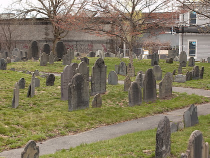
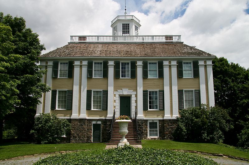
Shirley-Eustis House, Boston
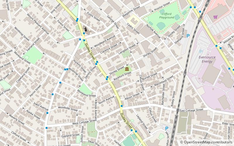
Map
Gallery
Facts and practical information
The Shirley–Eustis House is a historic house located at 33 Shirley Street, Boston, Massachusetts. It is a U.S. National Historic Landmark. ()
Built: 1741 (285 years ago)Coordinates: 42°19'24"N, 71°4'21"W
Day trips
Shirley-Eustis House – popular in the area (distance from the attraction)
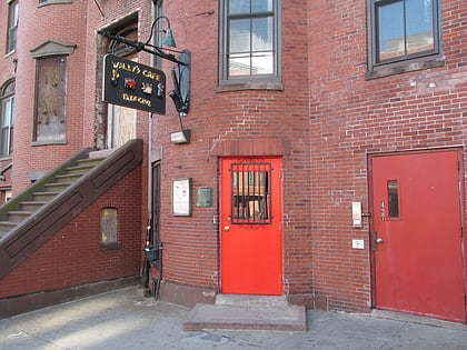
Nearby attractions include: Wally's Cafe, South Bay Shopping Center, Edward Everett Square, James Blake House.
Frequently Asked Questions (FAQ)
Which popular attractions are close to Shirley-Eustis House?
Nearby attractions include Governor Shirley Square Historic District, Boston (6 min walk), Moreland Street Historic District, Boston (10 min walk), Dearborn School, Boston (14 min walk), Greenville Street Historic District, Boston (14 min walk).
How to get to Shirley-Eustis House by public transport?
The nearest stations to Shirley-Eustis House:
Train
Bus
Metro
Light rail
Train
- Uphams Corner (9 min walk)
- Newmarket (12 min walk)
Bus
- Warren St @ Waverly St • Lines: 23 (13 min walk)
Metro
- Andrew • Lines: Red (24 min walk)
- JFK/UMass • Lines: Red (27 min walk)
Light rail
- Northeastern • Lines: E (38 min walk)
- Museum of Fine Arts • Lines: E (39 min walk)

 MBTA Subway