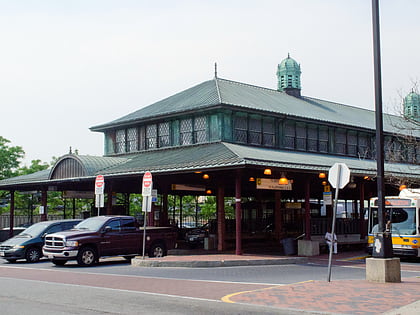
Eliot Congregational Church, Boston
Map
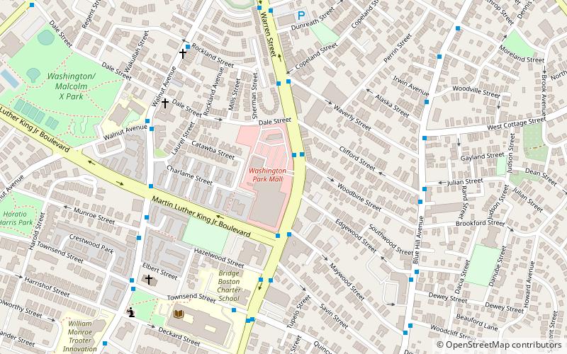
Map

Facts and practical information
The Eliot Congregational Church is a historic Congregational church at 56 Dale Street, at the corner of Walnut Avenue in the Roxbury neighborhood of Boston, Massachusetts. ()
Coordinates: 42°19'10"N, 71°4'55"W
Address
Roxbury (Washington Park)Boston
ContactAdd
Social media
Add
Day trips
Eliot Congregational Church – popular in the area (distance from the attraction)
Nearby attractions include: South Bay Shopping Center, First Church in Roxbury, Dudley Station Historic District, Nubian Square.
Frequently Asked Questions (FAQ)
Which popular attractions are close to Eliot Congregational Church?
Nearby attractions include Roxbury Presbyterian Church, Boston (1 min walk), Moreland Street Historic District, Boston (8 min walk), Twelfth Baptist Church, Boston (11 min walk), Charles Street African Methodist Episcopal Church, Boston (12 min walk).
How to get to Eliot Congregational Church by public transport?
The nearest stations to Eliot Congregational Church:
Bus
Train
Metro
Light rail
Bus
- Warren St opp Woodbine St • Lines: 23 (1 min walk)
Train
- Uphams Corner (18 min walk)
- Newmarket (26 min walk)
Metro
- Jackson Square • Lines: Orange (25 min walk)
- Roxbury Crossing • Lines: Orange (28 min walk)
Light rail
- Longwood Medical Area • Lines: E (38 min walk)
- Brigham Circle • Lines: E (39 min walk)

 MBTA Subway
