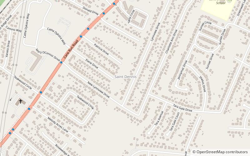
St. Dennis, Louisville
Map
Facts and practical information
St. Dennis is a former census-designated place in western Jefferson County, Kentucky, United States. The population was 9,177 at the 2000 census. In 2003, the area was consolidated into the new Louisville Metro due to the merger of the Jefferson County and Louisville governments into one entity, thus St. Dennis remains as a unique neighborhood within Louisville. ()
Address
West Louisville (St. Dennis)Louisville
ContactAdd
Social media
Add
Getting there by public transportation
Public transportation stops near this location
- Bus
 Bus
Bus
- Calculate routeCane Run / Patricia 6 min walk
Day trips


Frequently Asked Questions (FAQ)
How to get to St. Dennis by public transport?
The nearest stations to St. Dennis:
Bus
Bus
- Cane Run / Patricia • Lines: 63North, 63North-alt, 63South, 63South-alt (6 min walk)