Livermore Valley Joint Unified School District, Livermore
Map
Facts and practical information
Livermore Valley Joint Unified School District is a public school district located in Livermore, California, United States. It is located in Alameda County. Since May 2010, the Superintendent has been Kelly Bowers. ()
Coordinates: 37°41'20"N, 121°47'29"W
Getting there by public transportation
Public transportation stops near this location
- Bus
 Bus
Bus
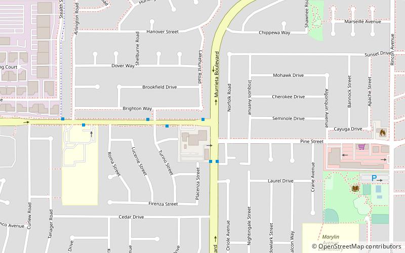
- Calculate routeEast Jack London Boulevard & Murrieta Boulevard 1 min walk
- Calculate routeMurrieta Boulevard & Pine Street 3 min walk
Day trips
Livermore Valley Joint Unified School District – popular in the area (distance from the attraction)
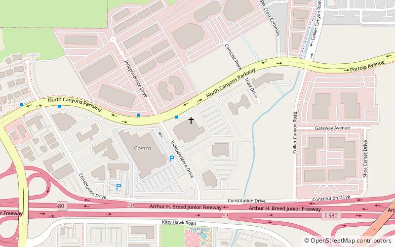
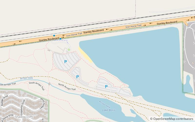
Nearby attractions include: Cornerstone Fellowship, Dublin Ranch Golf Course, Bankhead Theater, Shadow Cliffs Regional Recreation Area.


Frequently Asked Questions (FAQ)
How to get to Livermore Valley Joint Unified School District by public transport?
The nearest stations to Livermore Valley Joint Unified School District:
Bus
Bus
- East Jack London Boulevard & Murrieta Boulevard • Lines: 14 (1 min walk)
- Murrieta Boulevard & Pine Street • Lines: 14 (3 min walk)