Amador Valley, Pleasanton
Map
Facts and practical information
Amador Valley is a valley in eastern Alameda County, California and is the location of the cities of Dublin and Pleasanton. Part of Tri-Valley, the valley is bounded by the foothills of the Diablo Range on the north and south, Pleasanton Ridge to the west, and Livermore Valley to the east. ()
Coordinates: 37°40'59"N, 121°52'26"W
Address
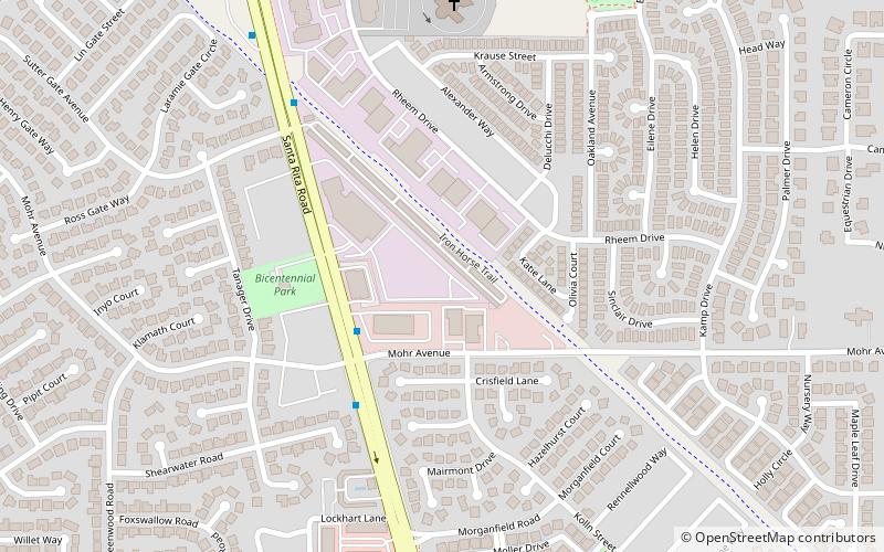
Willow WestPleasanton
ContactAdd
Social media
Add
Getting there by public transportation
Public transportation stops near this location
- Bus
 Bus
Bus
- Calculate routeSanta Rita Road & Mohr Avenue 4 min walk
- Calculate routeStoneridge Drive & Moreno Avenue 9 min walk
Day trips


Frequently Asked Questions (FAQ)
How to get to Amador Valley by public transport?
The nearest stations to Amador Valley:
Bus
Bus
- Santa Rita Road & Mohr Avenue • Lines: 10R (4 min walk)
- Stoneridge Drive & Moreno Avenue • Lines: 14 (9 min walk)