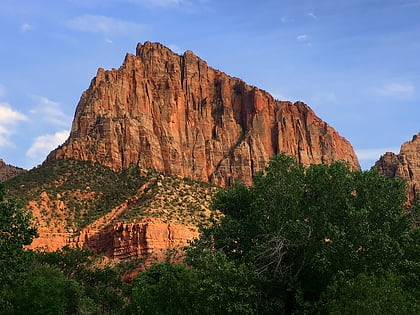
Shunesburg Mountain, Zion National Park
#45 among attractions in Zion National Park

Facts and practical information
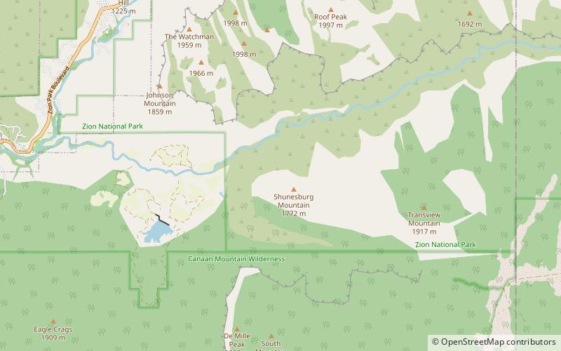
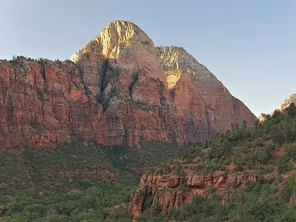
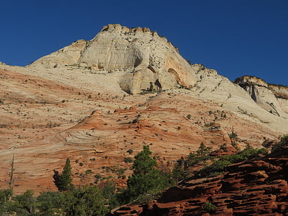
Shunesburg Mountain is a 5,960-foot mountain in Zion National Park in Washington County, Utah, United States. ()
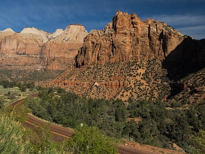
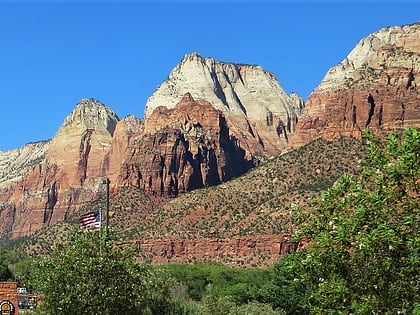
Zion National Park United States
Zion National Park plan & book
Unleash the traveler in you — discover the cheapest flight deals, find the perfect hotel or hostel nearby, and search for the best car rental prices. Travel at your own pace to discover new places and enjoy your journey.
Shunesburg Mountain – popular in the area (distance from the attraction)
Nearby attractions include: The Watchman, The East Temple, Mount Spry, Twin Brothers.
 Mountain
The Watchman, Zion National Park
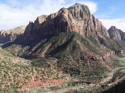
60 min walk • The Watchman is a 6,545-foot sandstone mountain summit located in Zion National Park, in Washington County of southwest Utah, United States.
 Natural attraction, Nature, Mountain
The East Temple, Zion National Park
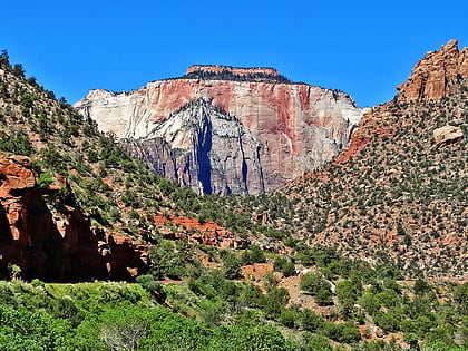
115 min walk • The East Temple is a prominent 7,709 feet summit composed of Navajo Sandstone in Zion National Park, in Washington County of southwest Utah, United States. It is one of the notable landmarks in the park.
 Mountain
Mount Spry, Zion National Park
115 min walk • Mount Spry is a small 5,720-ft elevation mountain summit made of Navajo Sandstone located in Zion National Park, in Washington County of southwest Utah, United States. Officially named in 1934, it honors William Spry, the third governor of Utah. The nearest higher peak is The East Temple, 0.34 miles to the east.
 Mountain
Twin Brothers, Zion National Park
127 min walk • Twin Brothers is a 6,863-foot Navajo Sandstone mountain in Zion National Park in Washington County, Utah, United States.
 Mountain
Mountain of the Sun, Zion National Park
139 min walk • Mountain of the Sun is a 6,722-foot elevation Navajo Sandstone summit located in Zion National Park, in Washington County of southwest Utah, United States. Mountain of the Sun is situated immediately east of Court of the Patriarchs, and south of Zion Lodge, towering 2,500-feet above the lodge and the floor of Zion Canyon.
 Mountain
The West Temple, Zion National Park
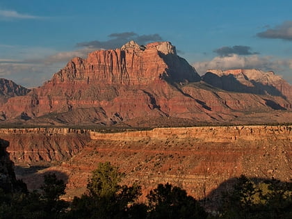
132 min walk • The West Temple is a prominent 7,810-foot mountain summit composed of Navajo Sandstone in Zion National Park in Washington County of Utah, United States.
 Mountain
Bridge Mountain, Zion National Park
88 min walk • Bridge Mountain is a 6,803-foot mountain made of Navajo Sandstone in Zion National Park in Washington County, of southwest Utah, United States.
 Mountain
The Sundial, Zion National Park
140 min walk • The Sundial is a 7,590-foot elevation white Navajo Sandstone summit located in Zion National Park, in Washington County of southwest Utah, United States.
 Mountain
Mount Kinesava, Zion National Park
127 min walk • Mount Kinesava is a 7,285-foot sandstone mountain summit located in Zion National Park, in Washington County of southwest Utah, United States.
 Mountain
Ant Hill, Zion National Park
134 min walk • Ant Hill is a 6,641-foot summit located in Zion National Park, in Washington County of southwest Utah, United States. It is composed of white Navajo Sandstone, and rises 1400-feet above the Zion – Mount Carmel Highway.
 Historical place, Bridge, Vernacular architecture
Rockville Bridge, Rockville
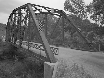
115 min walk • The Rockville Bridge spans the east fork of the Virgin River in Rockville, Utah, United States. The bridge was built for the National Park Service in 1924 to provide a link between Zion National Park and the North Rim area of Grand Canyon National Park.


