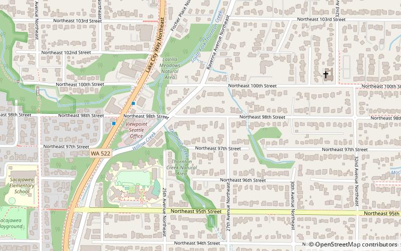
Washington's 46th legislative district, Seattle
Map
Facts and practical information
Washington's 46th legislative district is one of forty-nine districts in Washington state for representation in the state legislature. ()
Coordinates: 47°42'0"N, 122°18'0"W
Address
Lake City (Meadowbrook)Seattle
ContactAdd
Social media
Add
Getting there by public transportation
Public transportation stops near this location
- Bus
 Bus
Bus
- Calculate routeLake City Way NE & NE 98th St 4 min walk
- Calculate routeRavenna Ave NE & NE 92nd St 11 min walk
- Calculate route35th Ave NE & NE 97th St 12 min walk
Day trips


Frequently Asked Questions (FAQ)
Which popular attractions are close to Washington's 46th legislative district?
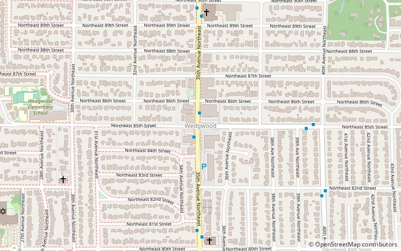
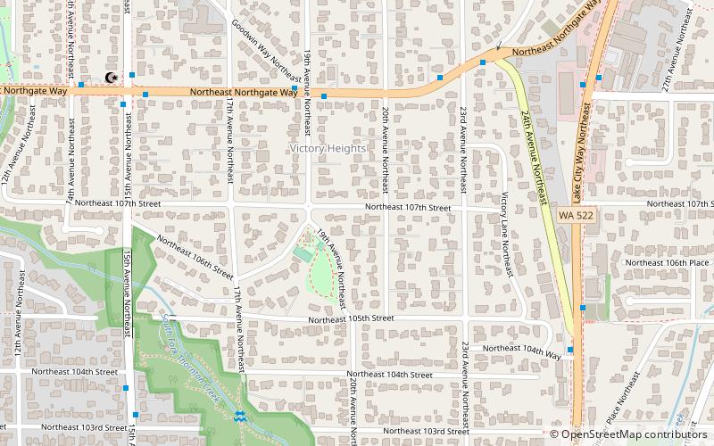
Nearby attractions include Victory Heights, Seattle (14 min walk), Maple Leaf, Seattle (21 min walk), Wedgwood, Seattle (21 min walk), Picardo Farm, Seattle (22 min walk).
How to get to Washington's 46th legislative district by public transport?
The nearest stations to Washington's 46th legislative district:
Bus
Bus
- Lake City Way NE & NE 98th St • Lines: 372 (4 min walk)
- Ravenna Ave NE & NE 92nd St • Lines: 372 (11 min walk)