New Chardon Street, Boston
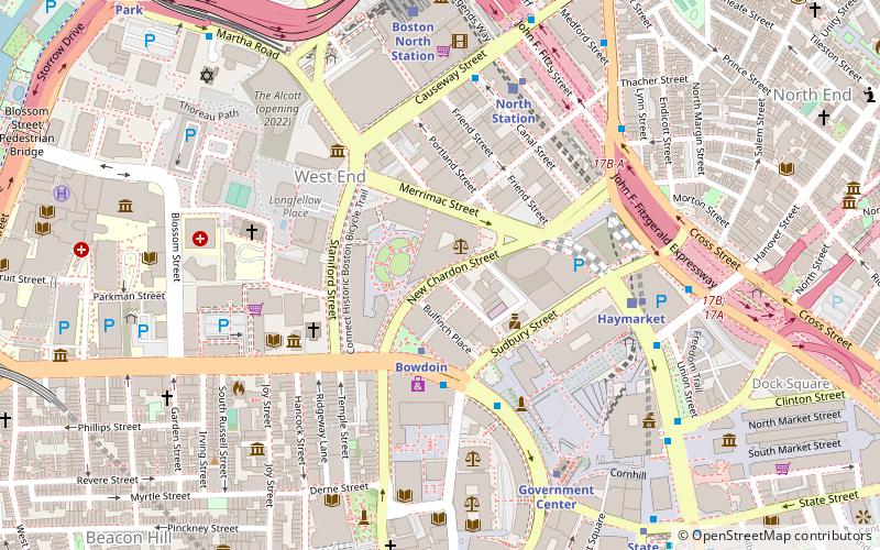
Map
Map

Facts and practical information
New Chardon Street is a street in downtown Boston, Massachusetts, United States, north of Government Center. It begins at Cambridge Street at Bowdoin Square, across from Bowdoin Street. The two-way street continues east across Congress Street, ending at Haymarket Square with access to the Sumner and Callahan Tunnels and the Central Artery, as well as local access to Washington Street North and the Surface Artery. ()
Coordinates: 42°21'45"N, 71°3'42"W
Address
Downtown BostonBoston
ContactAdd
Social media
Add
Day trips
New Chardon Street – popular in the area (distance from the attraction)
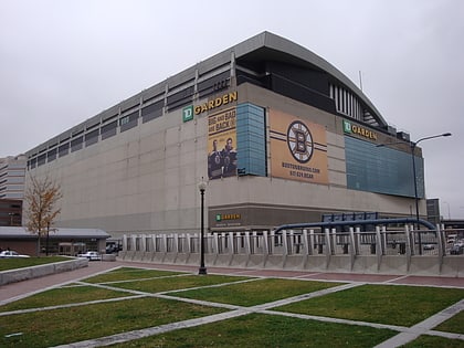
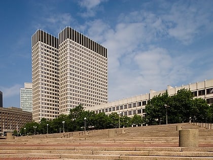
Nearby attractions include: TD Garden, Haymarket Open-Air Market, Boston City Hall, Government Center.
Frequently Asked Questions (FAQ)
Which popular attractions are close to New Chardon Street?
Nearby attractions include Bowdoin Square Theatre, Boston (2 min walk), Cardinal Cushing Memorial Park, Boston (2 min walk), Old West Church, Boston (4 min walk), Bulfinch Triangle Historic District, Boston (4 min walk).
How to get to New Chardon Street by public transport?
The nearest stations to New Chardon Street:
Metro
Light rail
Train
Bus
Metro
- Bowdoin • Lines: Blue (3 min walk)
- Haymarket • Lines: Orange (6 min walk)
Light rail
- Haymarket • Lines: C, E (5 min walk)
- North Station • Lines: C, E (6 min walk)
Train
- Boston North Station (7 min walk)
- Boston South Station (22 min walk)
Bus
- Tremont St opp Temple Pl • Lines: 55 (12 min walk)
- Federal St @ Franklin St • Lines: 504 (15 min walk)

 MBTA Subway