St. Anthony de Padua Parish School, Philadelphia
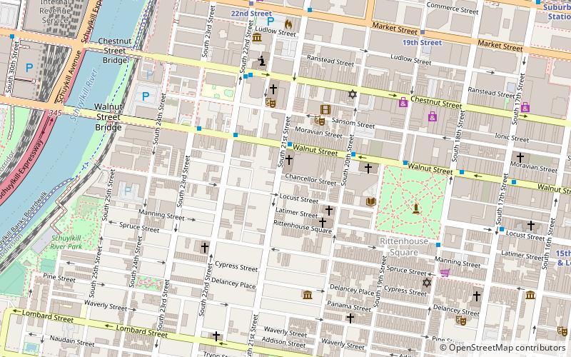
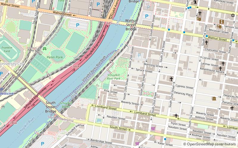
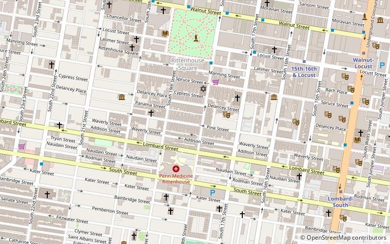
Map
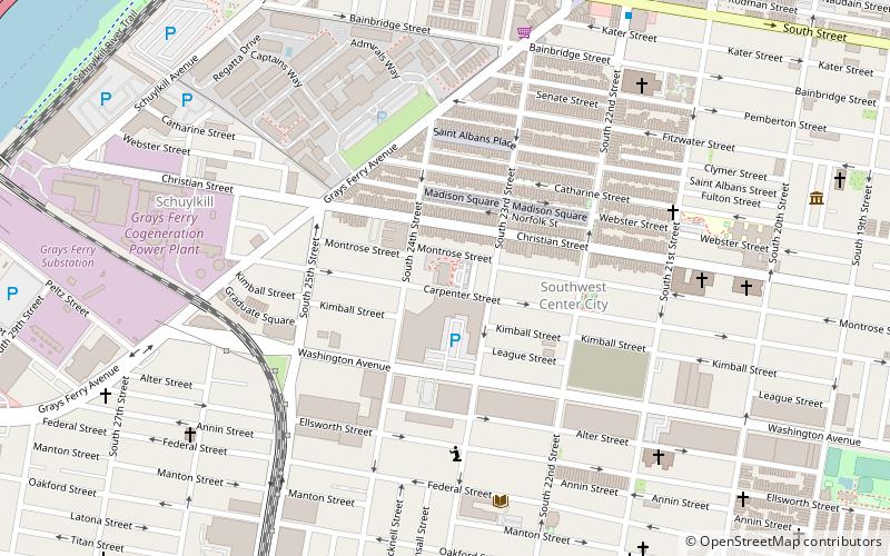
Map

Facts and practical information
St. Anthony de Padua Parish School is a historic Catholic school building located in the Southwest Center City neighborhood of Philadelphia, Pennsylvania. It was built in 1897, and is a four-story, red brick building with stone trim in the Romanesque Revival-style. It has rounded arched window openings, a hipped roof with dormer, and freestanding brick fire tower. ()
Coordinates: 39°56'28"N, 75°10'56"W
Address
Center City (Graduate Hospital)Philadelphia
ContactAdd
Social media
Add
Day trips
St. Anthony de Padua Parish School – popular in the area (distance from the attraction)
Nearby attractions include: Walnut Street, Plays & Players, Philadelphia Art Alliance, Rosenbach Museum and Library.
Frequently Asked Questions (FAQ)
Which popular attractions are close to St. Anthony de Padua Parish School?
Nearby attractions include William S. Peirce School, Philadelphia (2 min walk), Grays Road Recreation Center, Philadelphia (5 min walk), Devil's Pocket, Philadelphia (6 min walk), David Landreth School, Philadelphia (7 min walk).
How to get to St. Anthony de Padua Parish School by public transport?
The nearest stations to St. Anthony de Padua Parish School:
Train
Bus
Metro
Tram
Train
- Penn Medicine (17 min walk)
- Philadelphia 30th Street Station (26 min walk)
Bus
- Walnut St & 23rd St • Lines: 12, 9 (19 min walk)
- Rittenhouse Sq & 18th St • Lines: 12 (20 min walk)
Metro
- Ellsworth-Federal • Lines: Bsl (23 min walk)
- Lombard-South • Lines: Bsl (24 min walk)
Tram
- 22nd Street • Lines: 10, 11, 13, 34, 36 (24 min walk)
- 30th Street • Lines: 10, 11, 13, 34, 36 (25 min walk)

 SEPTA Regional Rail