Schuylkill Expressway Bridge, Philadelphia
Map
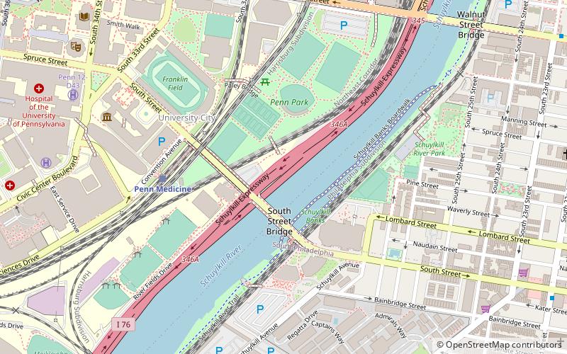
Map

Facts and practical information
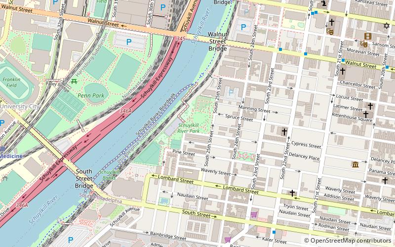
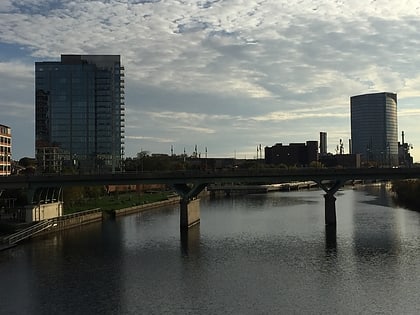
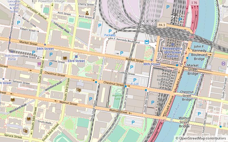
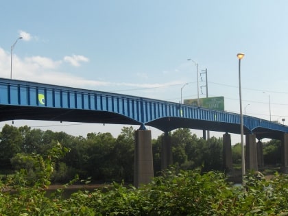
The Schuylkill Expressway Bridge, built in 1956 by the Pennsylvania Department of Transportation, and reconstructed and painted blue in 2010, carries the Schuylkill Expressway over the Schuylkill River between West Philadelphia and the Grays Ferry section of South Philadelphia. ()
Opened: 1956 (70 years ago)Coordinates: 39°56'52"N, 75°11'12"W
Address
West Philadelphia (University City)Philadelphia
ContactAdd
Social media
Add
Day trips
Schuylkill Expressway Bridge – popular in the area (distance from the attraction)
Nearby attractions include: Walnut Street, Penn Museum, United States Post Office-Main Branch, Irvine Auditorium.
Frequently Asked Questions (FAQ)
Which popular attractions are close to Schuylkill Expressway Bridge?
Nearby attractions include Weave Bridge, Philadelphia (2 min walk), Schuylkill River Park, Philadelphia (7 min walk), Schuylkill River Park Community Garden, Philadelphia (7 min walk), Penn Museum, Philadelphia (7 min walk).
How to get to Schuylkill Expressway Bridge by public transport?
The nearest stations to Schuylkill Expressway Bridge:
Train
Bus
Metro
Tram
Train
- Penn Medicine (5 min walk)
- Philadelphia 30th Street Station (16 min walk)
Bus
- Walnut St & 23rd St • Lines: 12, 9 (13 min walk)
- Megabus (15 min walk)
Metro
- 30th Street • Lines: Mfl (13 min walk)
- 34th Street • Lines: Mfl (16 min walk)
Tram
- 30th Street • Lines: 10, 11, 13, 34, 36 (14 min walk)
- 33rd Street • Lines: 10, 11, 13, 34, 36 (14 min walk)
 SEPTA Regional Rail