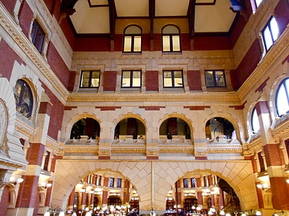
Schuylkill Arsenal Railroad Bridge, Philadelphia
Map
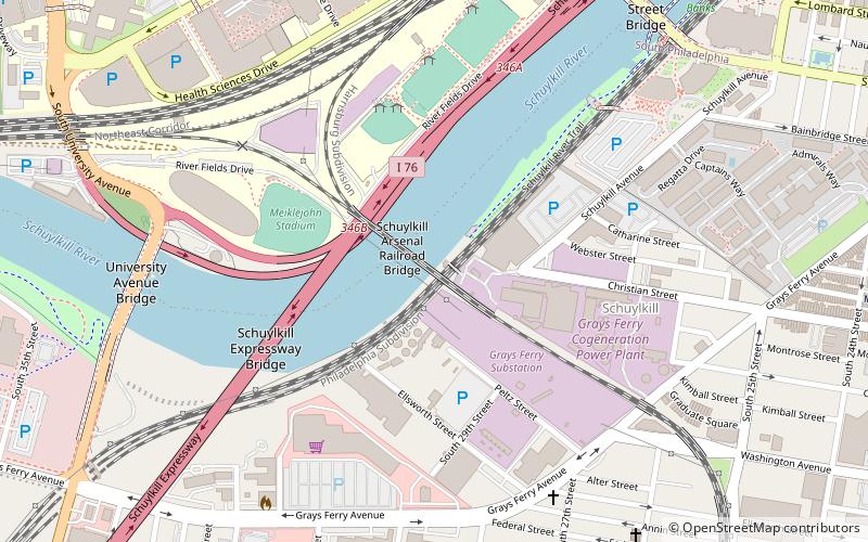
Map

Facts and practical information
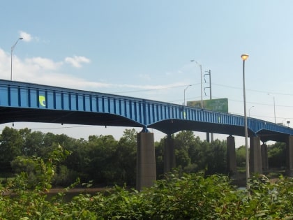
Schuylkill Arsenal Railroad Bridge is a wrought iron, two-track, deck truss swing bridge across the Schuylkill River between the University City and Grays Ferry neighborhoods of Philadelphia, Pennsylvania. It was built in 1885–86 by the Pennsylvania Railroad. Today, its swing span has been fixed shut, and the electrical catenary de-energized. ()
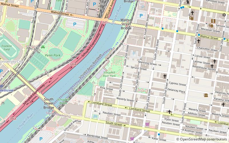
Coordinates: 39°56'34"N, 75°11'28"W
Day trips
Schuylkill Arsenal Railroad Bridge – popular in the area (distance from the attraction)
Nearby attractions include: Walnut Street, Penn Museum, Institute of Contemporary Art, The Woodlands.
Frequently Asked Questions (FAQ)
Which popular attractions are close to Schuylkill Arsenal Railroad Bridge?
Nearby attractions include Devil's Pocket, Philadelphia (7 min walk), Grays Road Recreation Center, Philadelphia (9 min walk), University Avenue Bridge, Philadelphia (9 min walk), South Street Bridge, Philadelphia (10 min walk).
How to get to Schuylkill Arsenal Railroad Bridge by public transport?
The nearest stations to Schuylkill Arsenal Railroad Bridge:
Train
Tram
Bus
Metro
Train
- Penn Medicine (9 min walk)
- Philadelphia 30th Street Station (26 min walk)
Tram
- 37th Street • Lines: 11, 13, 34, 36 (17 min walk)
- 36th Street • Lines: 11, 13, 34, 36 (20 min walk)
Bus
- Walnut St & 23rd St • Lines: 12, 9 (23 min walk)
- Megabus (26 min walk)
Metro
- 34th Street • Lines: Mfl (23 min walk)
- 30th Street • Lines: Mfl (24 min walk)

 SEPTA Regional Rail