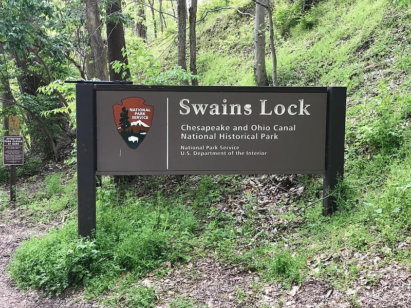
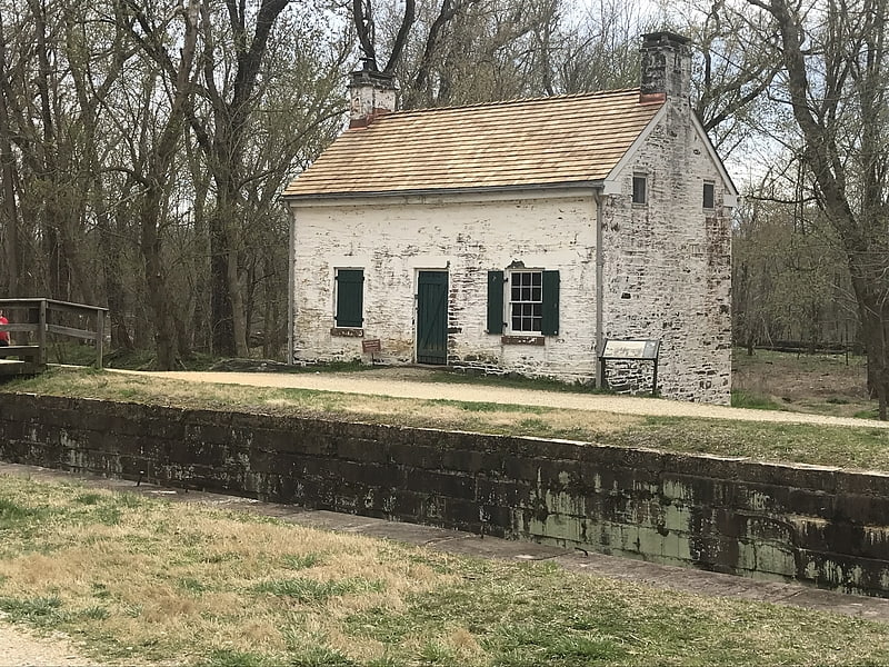
Pennyfield Lock, Great Falls
Gallery (3)
Map
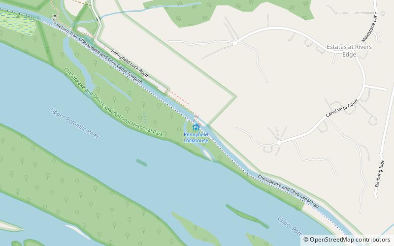
Map
Gallery
Facts and practical information
The Pennyfield Lock and lockhouse are part of the 184.5-mile Chesapeake and Ohio Canal that operated in the United States along the Potomac River from the 1830s through 1923. The lock, located at towpath mile-marker 19.7, is near River Road in Montgomery County, Maryland. The original lock house was built in 1830, and its lock was completed in 1831. ()
Coordinates: 39°3'14"N, 77°17'20"W
Address
TravilahGreat Falls
ContactAdd
Social media
Add
Day trips