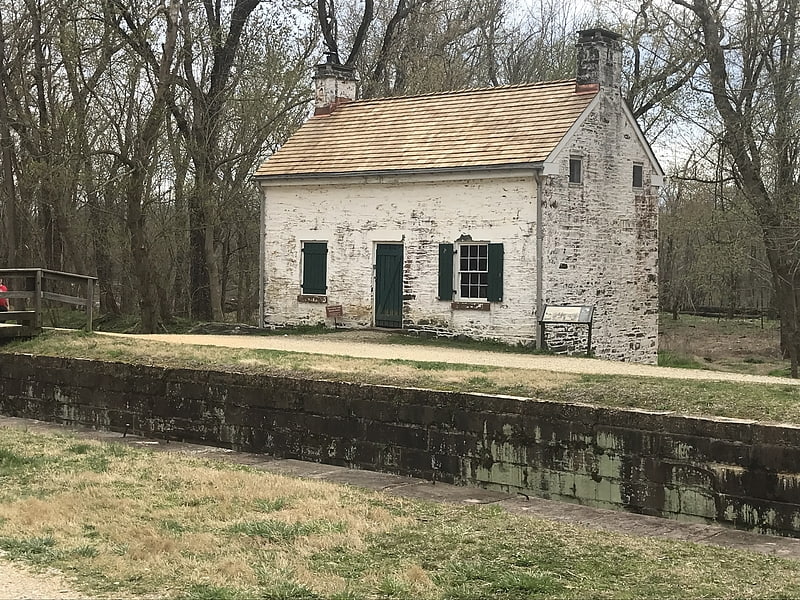
Algonkian Regional Park, Sterling

Gallery (1)
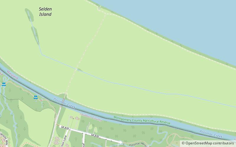
Map
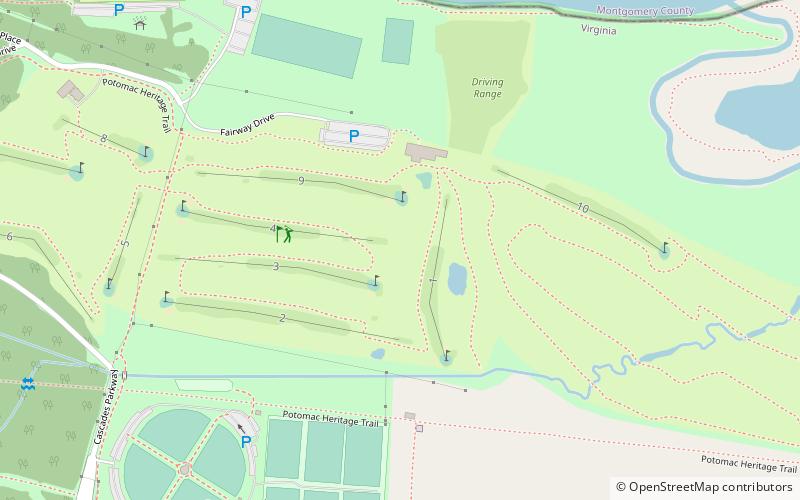
Map
Facts and practical information
Algonkian Regional Park (address: 47001 Fairway Dr) is a place located in Sterling (Virginia state) and belongs to the category of park, event space, golf.
It is situated at an altitude of 197 feet, and its geographical coordinates are 39°3'27"N latitude and 77°22'31"W longitude.
Among other places and attractions worth visiting in the area are: Seneca Aqueduct, Seneca Creek State Park (aqueduct, 51 min walk), Riley's Lock, Seneca Creek State Park (canal, 52 min walk), Jared The Galleria of Jewelry (jewelry, 76 min walk).
Elevation: 197 ft a.s.l.Coordinates: 39°3'27"N, 77°22'31"W
Day trips