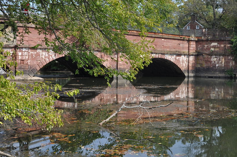
Riley's Lock, Seneca Creek State Park
Map
Gallery
Facts and practical information
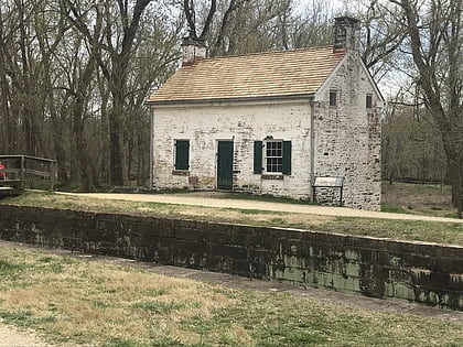
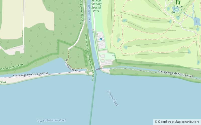
Riley's Lock and lock house are part of the 184.5-mile Chesapeake and Ohio Canal that operated in the United States along the Potomac River from the 1830s through 1923. They are located at towpath mile-marker 22.7 adjacent to Seneca Creek, in Montgomery County, Maryland. The lock is sometimes identified as Seneca because of the Seneca Aqueduct that carried the canal over the creek to the lift lock. The name Riley comes from John C. Riley, who was lock keeper from 1892 until the canal closed permanently in 1924. ()
Coordinates: 39°4'9"N, 77°20'27"W
Address
DarnestownSeneca Creek State Park
ContactAdd
Social media
Add
Day trips
Riley's Lock – popular in the area (distance from the attraction)
Nearby attractions include: Great Falls, Billy Goat Trail, Swains Lock, Pennyfield Lock.


