Butler Street, Pittsburgh
Map

Gallery

Facts and practical information
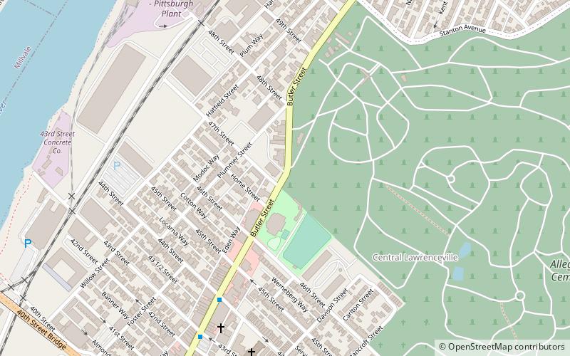
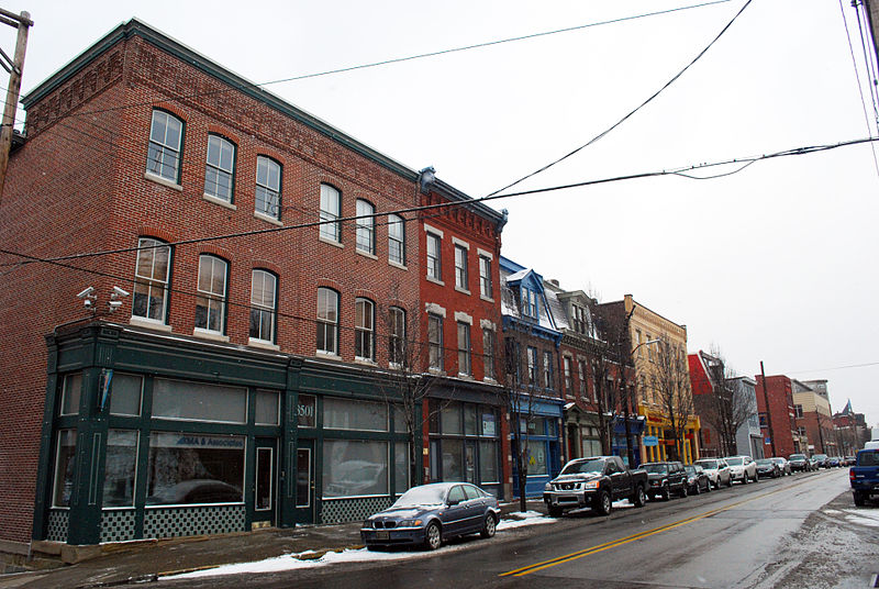
Butler Street is a street in Pittsburgh, Pennsylvania which is the main commercial thoroughfare of the Lawrenceville neighborhood. Since the early 2000s, it has become a center for arts, dining, and music, with many local businesses including bars, restaurants, breweries, and specialty shops. It is named for the city of Butler, Pennsylvania, whose namesake was Maj. Gen. Richard Butler of the Continental Army. ()
Coordinates: 40°28'27"N, 79°57'28"W
Address
East End (Central Lawrenceville)Pittsburgh
ContactAdd
Social media
Add
Day trips
Butler Street – popular in the area (distance from the attraction)
Nearby attractions include: Mr. Smalls Theatre, Allegheny Cemetery, The Doughboy, The Church Brew Works.
Frequently Asked Questions (FAQ)
Which popular attractions are close to Butler Street?
Nearby attractions include Butler Street Gatehouse, Pittsburgh (2 min walk), Bayard School, Pittsburgh (5 min walk), Central Lawrenceville, Pittsburgh (7 min walk), Turney House, Pittsburgh (8 min walk).
How to get to Butler Street by public transport?
The nearest stations to Butler Street:
Bus
Bus
- East Ohio St at Grant Ave • Lines: 1, 2 (17 min walk)
- Grant Ave at East Ohio St • Lines: 2 (17 min walk)


