Vestal's Gap Road and Lanesville Historic District, Sterling
Map
Gallery

Facts and practical information
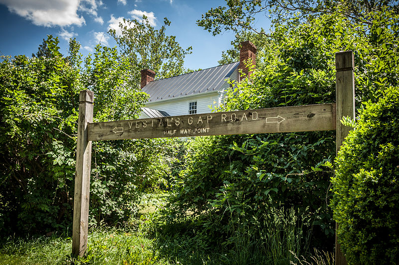
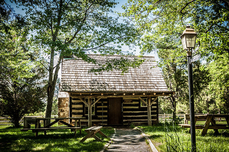
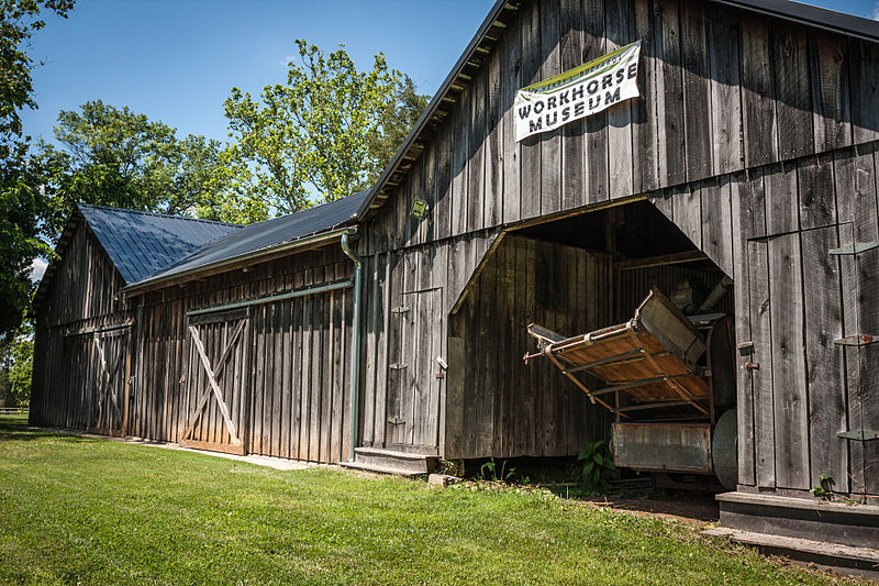
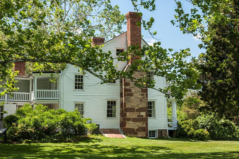
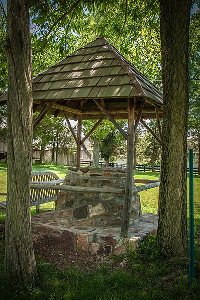
Vestal's Gap Road and Lanesville Historic District is a national historic district located in Claude Moore Park at Sterling, Loudoun County, Virginia. It encompasses 1 contributing building and 1 contributing structure. They are "Lanesville," a two-story side-gabled frame house on a solid stone-rubble foundation built about 1807, and a section of the former Vestal's Gap Road, an 18th-century road. ()
Coordinates: 39°1'3"N, 77°24'11"W
Address
SterlingSterling
ContactAdd
Social media
Add
Day trips
Vestal's Gap Road and Lanesville Historic District – popular in the area (distance from the attraction)
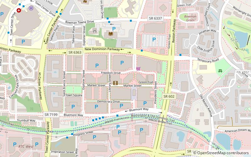
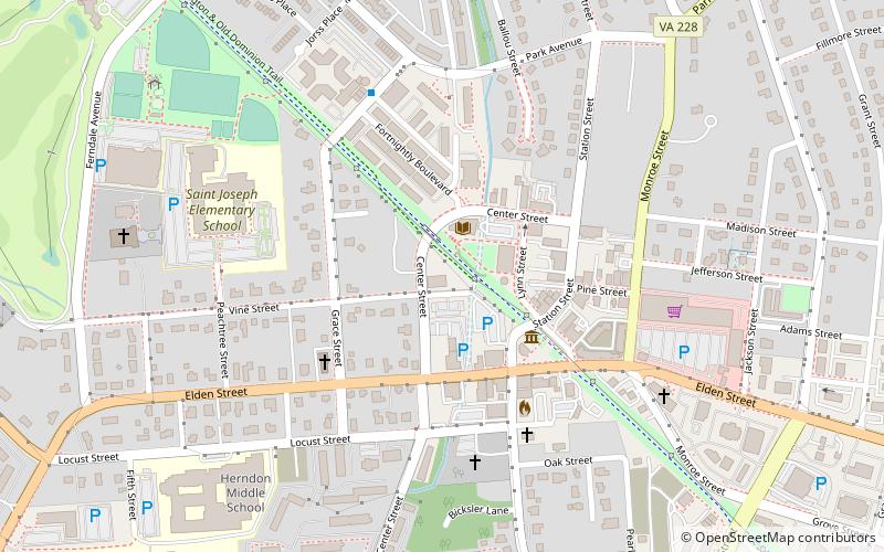
Nearby attractions include: Reston Town Center, Riley's Lock, Seneca Aqueduct, Dulles Town Center.


