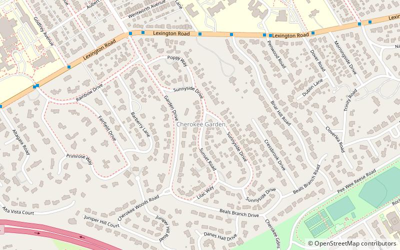
Cherokee Gardens, Louisville
Map
Facts and practical information
Cherokee Gardens is a residential area six miles east of downtown Louisville, Kentucky USA. The area is a collection of small, unconnected subdivisions along Lexington Road and large estates built just outside Cherokee Park. ()
Coordinates: 38°14'44"N, 85°40'39"W
Address
Central Louisville (Cherokee Gardens)Louisville
ContactAdd
Social media
Add
Getting there by public transportation
Public transportation stops near this location
- Bus
 Bus
Bus
- Calculate routeLexington / Cherry 6 min walk
Day trips


Frequently Asked Questions (FAQ)
Which popular attractions are close to Cherokee Gardens?
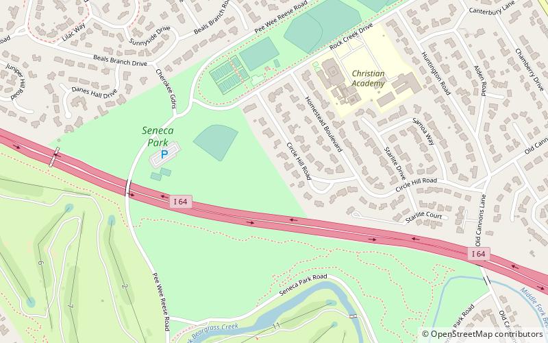
Nearby attractions include Whitehall House & Gardens, Louisville (4 min walk), Rockcreek-Lexington Road, Louisville (13 min walk), Seneca Park, Louisville (14 min walk), Shawnee Park, Louisville (17 min walk).
How to get to Cherokee Gardens by public transport?
The nearest stations to Cherokee Gardens:
Bus
Bus
- Lexington / Cherry • Lines: 29East Oxmoor, 29West Oxmoor (6 min walk)