The Port, Boston
Map
Map

Facts and practical information
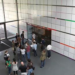
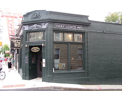
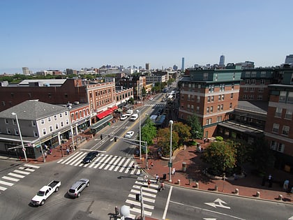
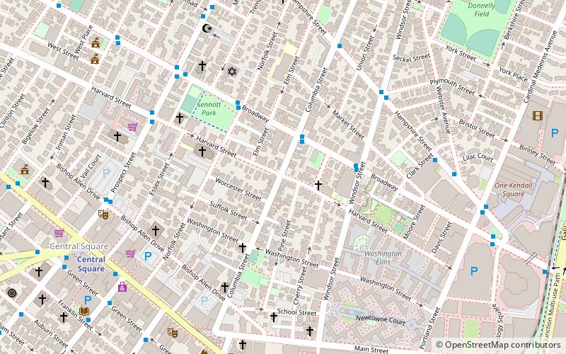
The Port, formerly Area 4, is a neighborhood of Cambridge, Massachusetts, roughly between Central Square, Inman Square, and MIT. It is bounded on the south by Massachusetts Avenue, on the west by Prospect Street, on the north by Hampshire Street, and on the east by the Grand Junction Railroad tracks. Area 4 is a densely populated residential neighborhood with about 7,000 residents. ()
Coordinates: 42°22'1"N, 71°5'52"W
Address
Cambridge (The Port)Boston
ContactAdd
Social media
Add
Day trips
The Port – popular in the area (distance from the attraction)
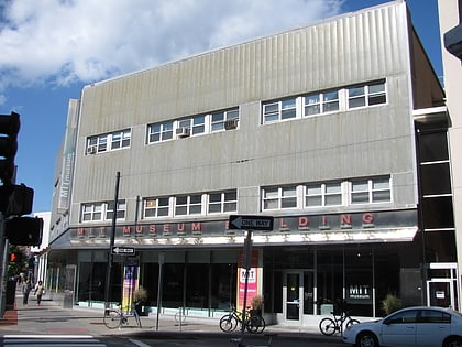
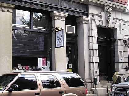
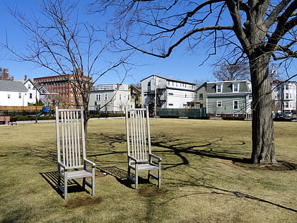
Nearby attractions include: MIT Museum, Grolier Poetry Bookshop, Christ the King Presbyterian Church, Greene-Rose Heritage Park.
Frequently Asked Questions (FAQ)
Which popular attractions are close to The Port?
Nearby attractions include Old Cambridgeport Historic District, Boston (3 min walk), George Close Company Building, Boston (3 min walk), Sennott Park, Boston (4 min walk), Beth Israel Synagogue, Boston (5 min walk).
How to get to The Port by public transport?
The nearest stations to The Port:
Bus
Metro
Light rail
Bus
- Prospect St @ Harvard St • Lines: 91 (6 min walk)
Metro
- Central Square • Lines: Red (9 min walk)
- Kendall/MIT • Lines: Red (18 min walk)
Light rail
- Boston University Central • Lines: B (33 min walk)
- Amory Street • Lines: B (36 min walk)

 MBTA Subway