Pleasant Avenue, New York City
Map

Map

Facts and practical information
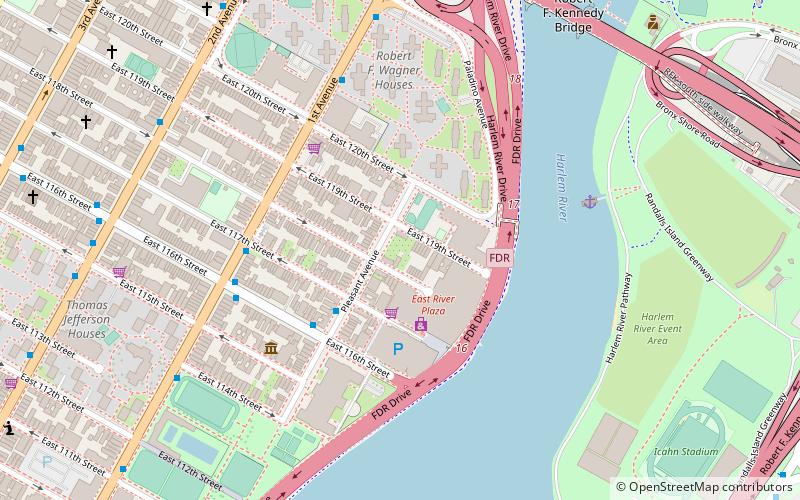
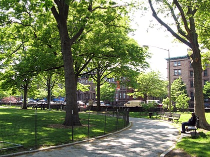
Pleasant Avenue is a north-south street in the East Harlem neighborhood of the New York City borough of Manhattan. It begins at E. 114th Street and ends at E. 120th Street. The street was the northernmost section of Avenue A, which stretched from Alphabet City northward, and was added to the grid wherever space allowed between First Avenue and the East River. This stretch was renamed "Pleasant Avenue" in 1879. Unlike York Avenue, however, the addresses on Pleasant Avenue are not continuous with that on Avenue A. ()
Coordinates: 40°47'47"N, 73°55'54"W
Day trips
Pleasant Avenue – popular in the area (distance from the attraction)
Nearby attractions include: Downing Stadium, Marcus Garvey Park, Robert F. Kennedy Bridge, La Marqueta.
Frequently Asked Questions (FAQ)
Which popular attractions are close to Pleasant Avenue?
Nearby attractions include East Harlem, New York City (12 min walk), Church of Our Lady Queen of Angels, New York City (13 min walk), Elmendorf Reformed Church, New York City (13 min walk), Hell Gate Bridge, New York City (16 min walk).
How to get to Pleasant Avenue by public transport?
The nearest stations to Pleasant Avenue:
Bus
Metro
Train
Bus
- 1st Avenue & East 116th Street • Lines: M15, M15-Sbs (5 min walk)
- 2 Av/E 119 St • Lines: M15 (8 min walk)
Metro
- 116th Street • Lines: <6>, 4, 6 (14 min walk)
- 125th Street • Lines: <6>, 4, 5, 6 (17 min walk)
Train
- Harlem–125th Street (19 min walk)

 Subway
 Manhattan Buses


