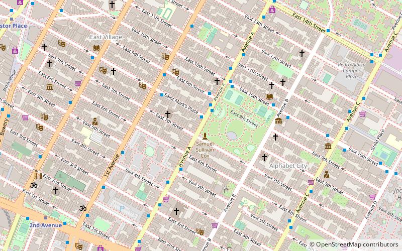
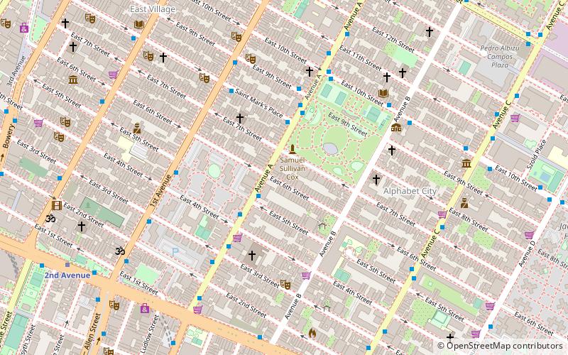
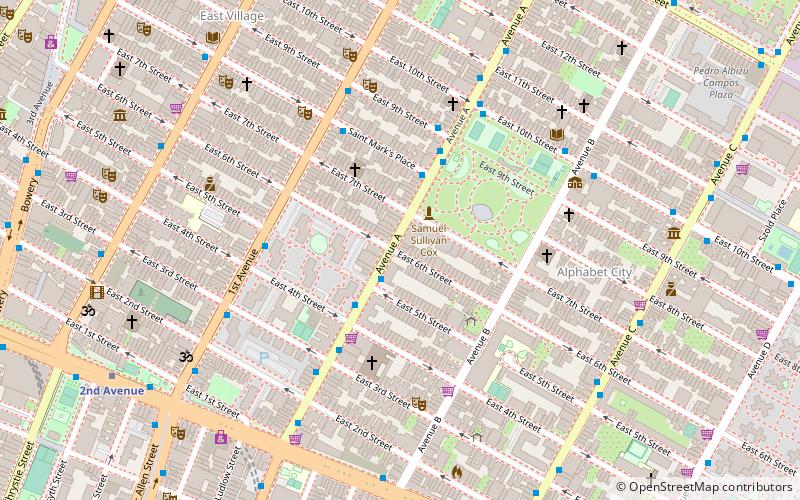
Avenue A, New York City

Gallery (3)
Map
Map
Gallery
Facts and practical information
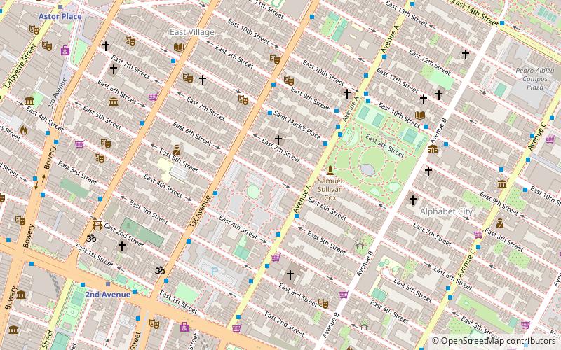
Avenue A is a north–south avenue located in Manhattan, New York City, east of First Avenue and west of Avenue B. It runs from Houston Street to 14th Street, where it continues into a loop road in Stuyvesant Town, connecting to Avenue B. Below Houston Street, Avenue A continues as Essex Street. ()
Address
Downtown Manhattan (East Village)New York City
ContactAdd
Social media
Add
Getting there by public transportation
Public transportation stops near this location
- Metro
- Bus
 Metro
Metro
- Calculate routeAvenue A & East 5th Street 3 min walk
- Calculate routeSaint Marks Place & 1st Avenue 3 min walk
- Calculate route1st Avenue & East 9th Street 4 min walk
- Calculate route1st Avenue 9 min walk
- Calculate route2nd Avenue 11 min walk
Maps SubwayMaps
 Manhattan Buses
SubwayMapsManhattan BusesDay trips


Frequently Asked Questions (FAQ)
Which popular attractions are close to Avenue A?
Nearby attractions include Tompkins Square Park, New York City (2 min walk), St. Stanislaus Bishop and Martyr Church, New York City (2 min walk), Brant Foundation, New York City (3 min walk), St. Nicholas of Myra Church, New York City (3 min walk).
How to get to Avenue A by public transport?
The nearest stations to Avenue A:
Bus
Metro
Bus
- Avenue A & East 5th Street • Lines: M14A Sbs (3 min walk)
- Saint Marks Place & 1st Avenue • Lines: M8 (3 min walk)
Metro
- 1st Avenue • Lines: L (9 min walk)
- 2nd Avenue • Lines: <F>, F (11 min walk)