Pier 40, New York City
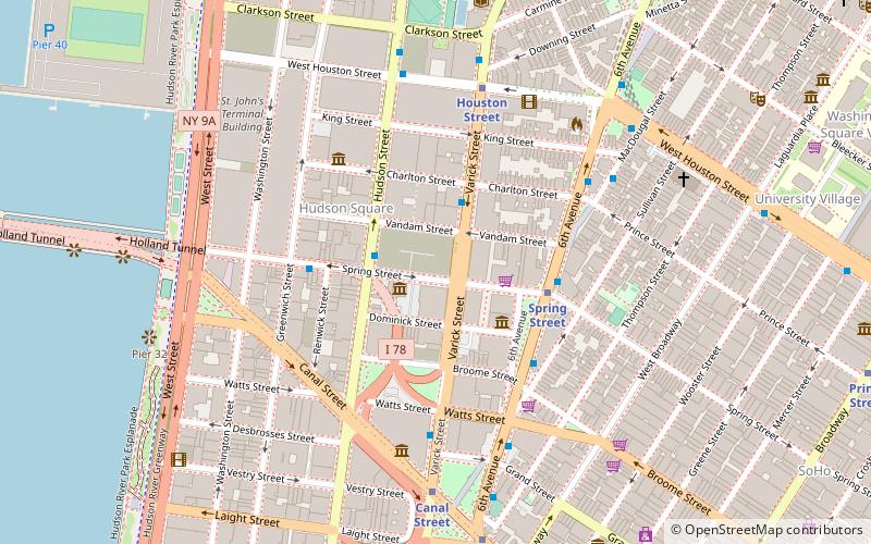
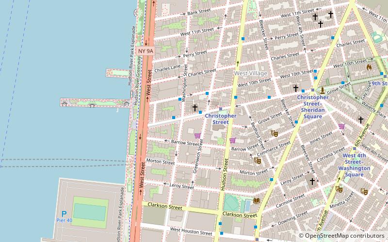
Map
Gallery
Facts and practical information
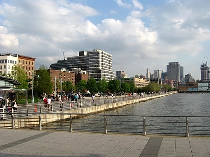
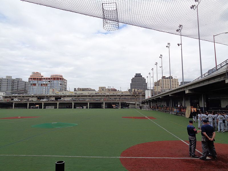
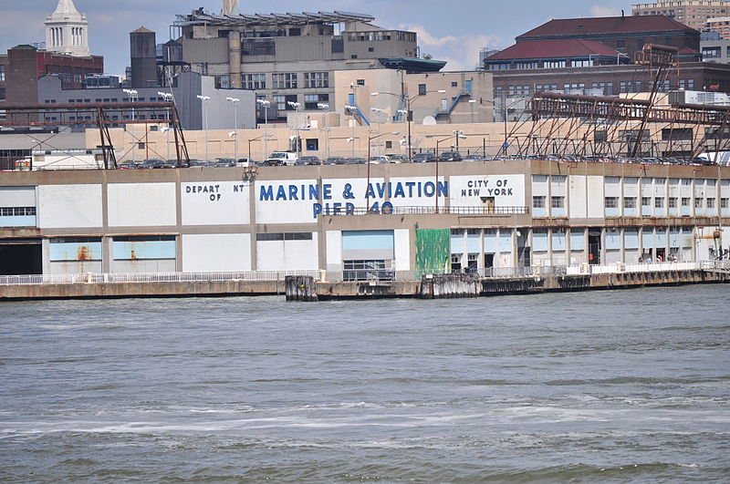
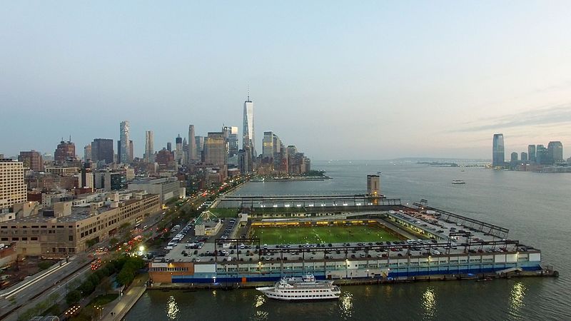
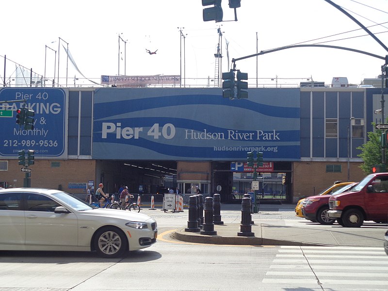
Pier 40 is a parking garage, sports facility, and former marine terminal at the west end of Houston Street in Manhattan, New York, within Hudson River Park. It is home to the New York Knights of the USA Rugby League, though it is primarily used by youth and high school athletics. ()
Coordinates: 40°43'45"N, 74°0'45"W
Address
Downtown Manhattan (West Village)New York City
ContactAdd
Social media
Add
Day trips
Pier 40 – popular in the area (distance from the attraction)
Nearby attractions include: Ear Inn, Paradise Garage, Hudson River Park, Color Factory.
Frequently Asked Questions (FAQ)
Which popular attractions are close to Pier 40?
Nearby attractions include Maccarone, New York City (7 min walk), USCGC Lilac, New York City (7 min walk), Children's Museum of the Arts, New York City (7 min walk), Gavin Brown's Enterprise, New York City (7 min walk).
How to get to Pier 40 by public transport?
The nearest stations to Pier 40:
Metro
Bus
Ferry
Train
Light rail
Metro
- Houston Street • Lines: 1, 2 (10 min walk)
- Christopher Street • Lines: Hob–33, Jsq–33, JSQ–33 via HOB (11 min walk)
Bus
- Bethune Street & Greenwich Street • Lines: M11 (17 min walk)
- Greenwich St/ Horatio St • Lines: M11 (19 min walk)
Ferry
- Hoboken NJ Transit Terminal (22 min walk)
- Brookfield Place / Battery Park City Ferry Terminal (26 min walk)
Train
- Hoboken Terminal (23 min walk)
Light rail
- Hoboken Terminal • Lines: Hblr (24 min walk)
- Harborside Financial Center • Lines: Hblr (34 min walk)



 Subway
 Manhattan Buses

