Philadelphia & Reading Railroad Mule Bridge, Philadelphia
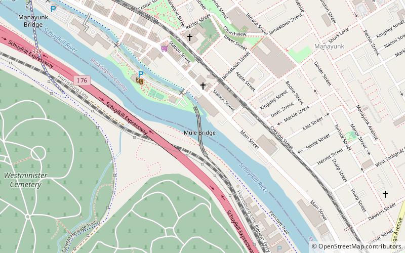
Map

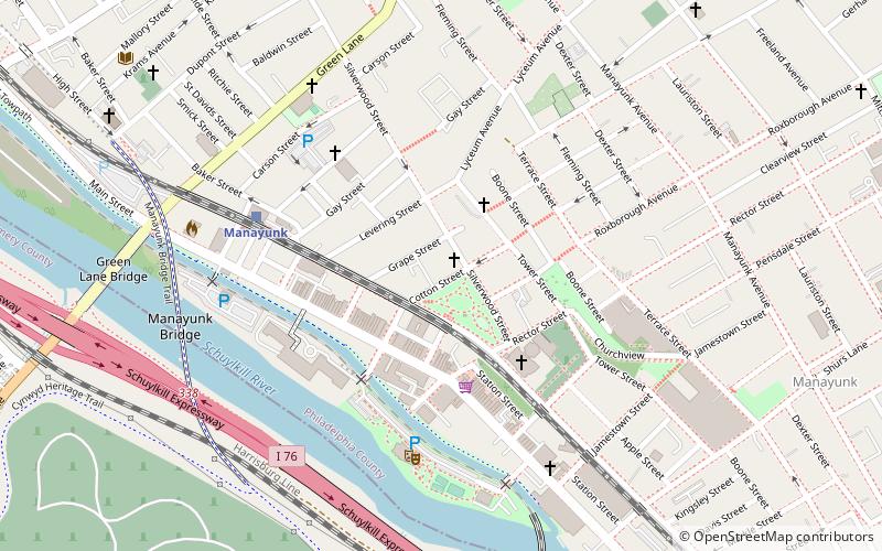
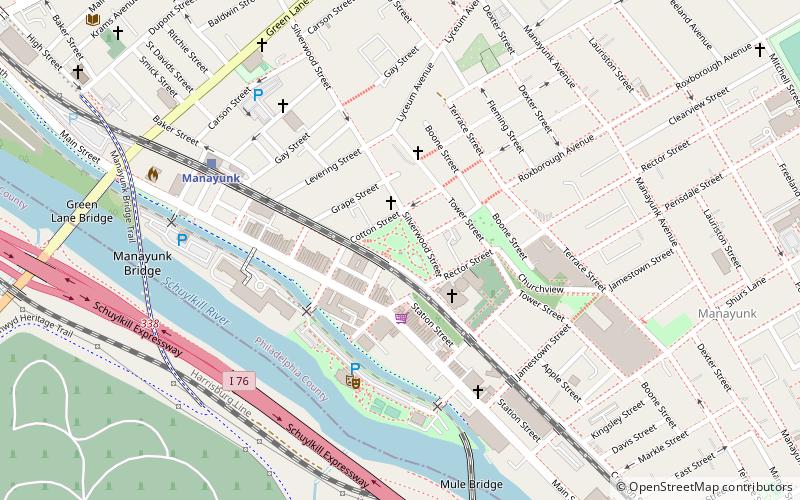
Map

Facts and practical information
The Philadelphia & Reading Railroad Mule Bridge is a bridge spanning the Schulykill River at the foot of Shurs Lane in Philadelphia, Philadelphia County, Pennsylvania. The bridge is significant for being one of the oldest surviving wrought iron lattice truss bridges. ()
Coordinates: 40°1'19"N, 75°13'10"W
Address
Lower Northwest (Manayunk)Philadelphia
ContactAdd
Social media
Add
Day trips
Philadelphia & Reading Railroad Mule Bridge – popular in the area (distance from the attraction)
Nearby attractions include: Green Lane Bridge, Falls Bridge, Wissahickon Memorial Bridge, St. Josaphat Roman Catholic Church in Philadelphia.
Frequently Asked Questions (FAQ)
Which popular attractions are close to Philadelphia & Reading Railroad Mule Bridge?
Nearby attractions include St. John the Baptist, Philadelphia (6 min walk), Pretzel Park, Philadelphia (7 min walk), St. Josaphat Roman Catholic Church in Philadelphia, Philadelphia (8 min walk), Manayunk, Philadelphia (10 min walk).
How to get to Philadelphia & Reading Railroad Mule Bridge by public transport?
The nearest stations to Philadelphia & Reading Railroad Mule Bridge:
Train
Train
- Manayunk (12 min walk)
- Wissahickon (16 min walk)

 SEPTA Regional Rail


