Michigan–Wacker Historic District, Chicago
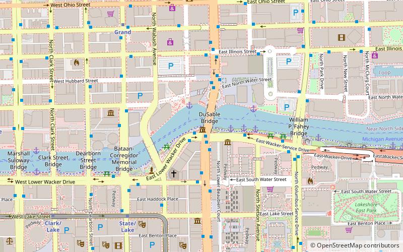
Map
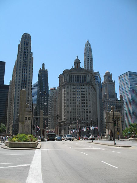
Gallery
Facts and practical information
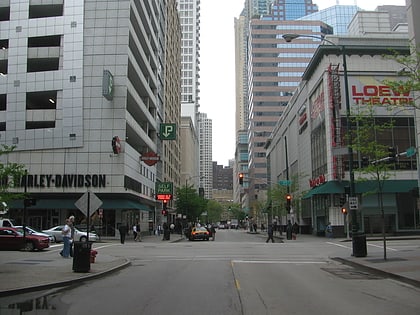
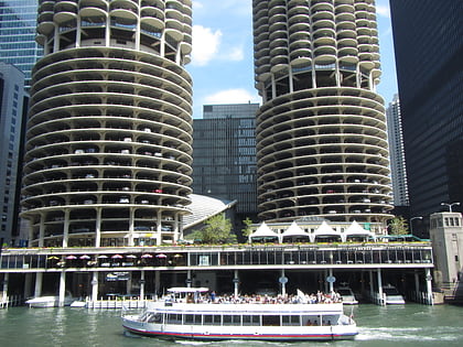
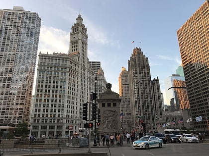
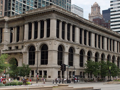
The Michigan–Wacker Historic District is a National Register of Historic Places District that includes parts of the Chicago Loop and Near North Side community areas in Chicago, Illinois, United States. The district is known for the Chicago River, two bridges that cross it, and eleven high rise and skyscraper buildings erected in the 1920s. Among the contributing properties are the following Chicago Landmark structures: ()
Coordinates: 41°53'19"N, 87°37'29"W
Address
Downtown (The Loop)Chicago
ContactAdd
Social media
Add
Day trips
Michigan–Wacker Historic District – popular in the area (distance from the attraction)
Nearby attractions include: Architecture Center, Michigan Avenue Bridge, Chicago Theatre, Chicago Riverwalk.
Frequently Asked Questions (FAQ)
Which popular attractions are close to Michigan–Wacker Historic District?
Nearby attractions include Michigan Avenue Bridge, Chicago (1 min walk), 333 North Michigan, Chicago (2 min walk), Jean Baptiste Point Du Sable Homesite, Chicago (2 min walk), Wrigley Building, Chicago (2 min walk).
How to get to Michigan–Wacker Historic District by public transport?
The nearest stations to Michigan–Wacker Historic District:
Bus
Metro
Train
Bus
- Lower Wacker & Michigan • Lines: 120, 121 (1 min walk)
- Wacker & Michigan • Lines: 10, 134, 135, 136, 146, 148, 2, 6 (1 min walk)
Metro
- State/Lake • Lines: Brown, Green, Orange, Pink, Purple (7 min walk)
- Grand • Lines: Red (8 min walk)
Train
- Millennium Station (8 min walk)
- Van Buren Street (21 min walk)

 Rail "L"