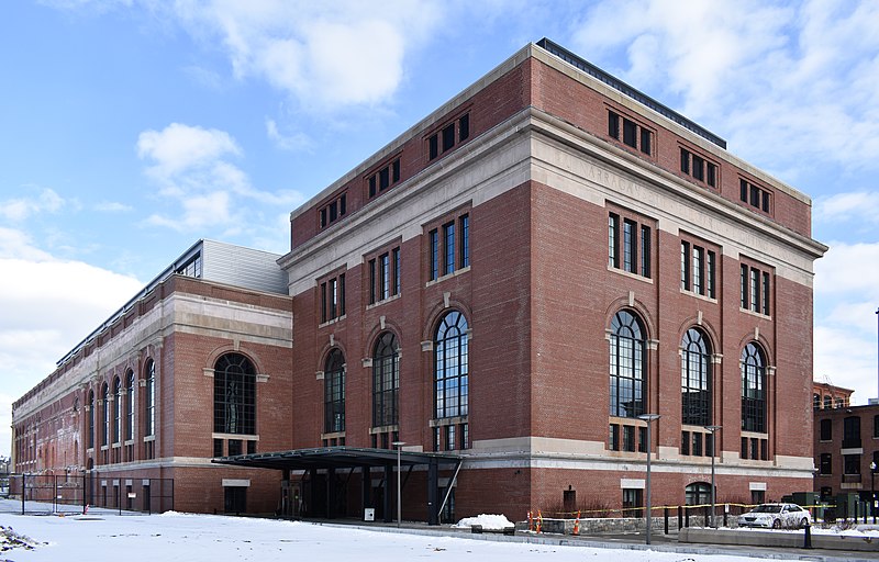
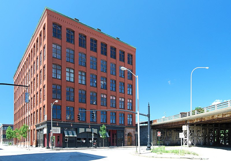
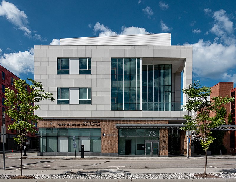
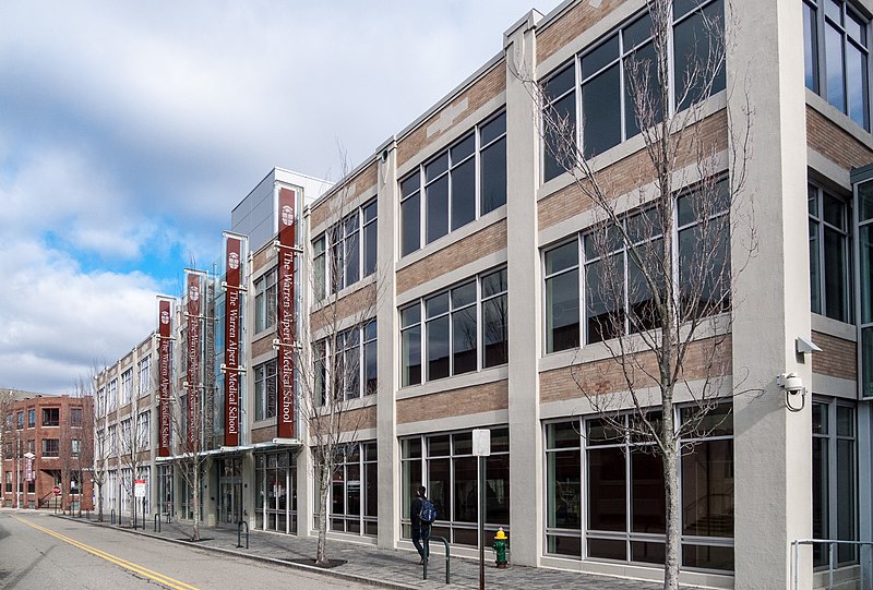
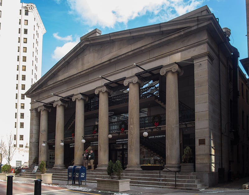
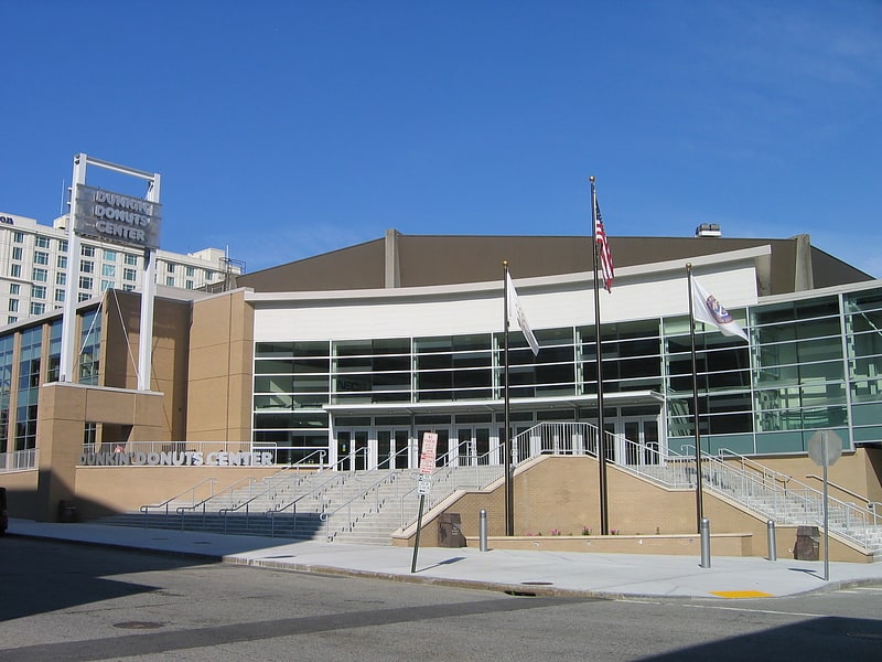
Jewelry District, Providence

Gallery (8)
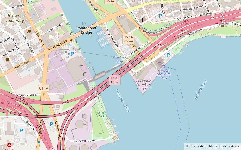
Map


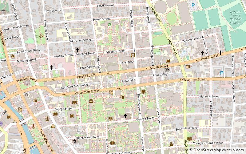
Map

Gallery
Facts and practical information
The Jewelry District is a neighborhood of Providence, Rhode Island located just southeast of Downtown. The historical path of Interstate 195 delineates the neighborhood's northern border while Interstate 95 and the Providence River define its western, southern and eastern edges. ()
Coordinates: 41°49'4"N, 71°24'31"W
Address
Upper South ProvidenceProvidence
ContactAdd
Social media
Add
Getting there by public transportation
Public transportation stops near this location
- Bus
- Train
 Bus
Bus
- Calculate routeDorrance and Pine 9 min walk
- Calculate routeEddy and Borden 11 min walk
- Calculate routeKennedy Plaza Intermodal Transportation Center 13 min walk
- Calculate routeKennedy Plaza Stop V 14 min walk
- Calculate routeProvidence 21 min walk
Day trips


Frequently Asked Questions (FAQ)
Which popular attractions are close to Jewelry District?
Nearby attractions include Providence Jewelry Manufacturing Historic District, Providence (3 min walk), Davol Rubber Company, Providence (3 min walk), Davol Square, Providence (4 min walk), Columbus Square, Providence (4 min walk).
How to get to Jewelry District by public transport?
The nearest stations to Jewelry District:
Bus
Train
Bus
- Dorrance and Pine • Lines: 1, 3, 3A, 3B, 62 (9 min walk)
- Eddy and Borden • Lines: 3, 3A, 3B (11 min walk)
Train
- Providence (21 min walk)