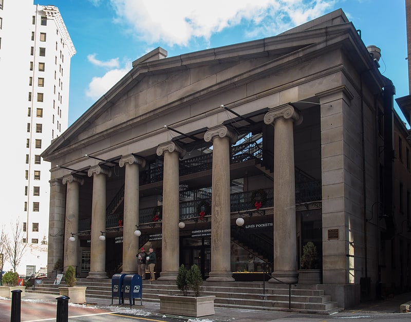
Iway, Providence
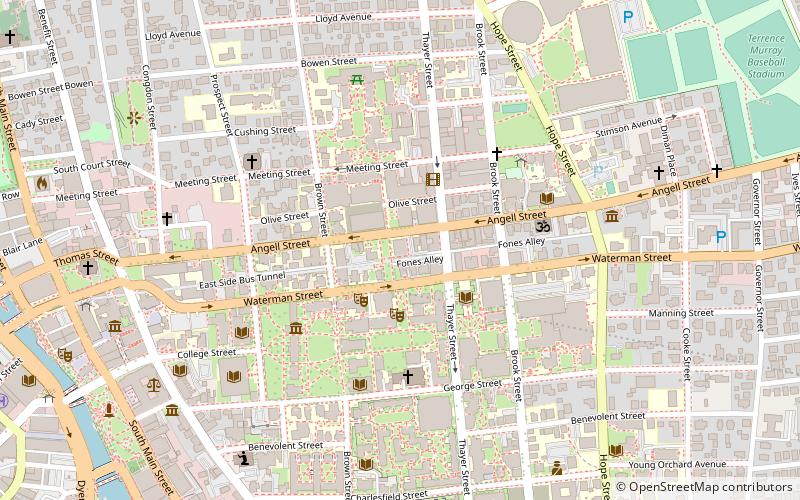
Map
Facts and practical information
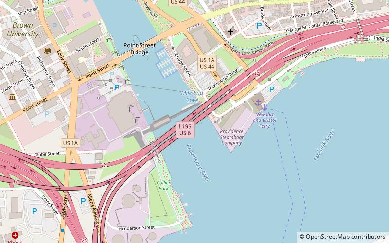
Interstate 195 is an Interstate Highway running a combined 44.23 miles in the US states of Rhode Island and Massachusetts. It travels from a junction with I-95 in Providence, Rhode Island, east to a junction with I-495 and Route 25 in Wareham, Massachusetts. It runs east–west and passes through the cities of Fall River, Massachusetts, and New Bedford, Massachusetts. The portion of I-195 in East Providence is also known as the East Providence Expressway. ()
Coordinates: 41°48'56"N, 71°24'4"W
Address
Providence
ContactAdd
Social media
Add
Getting there by public transportation
Public transportation stops near this location
- Bus
- Train
 Bus
Bus
- Calculate routeEddy and Borden 10 min walk
- Calculate routeDorrance and Pine 18 min walk
- Calculate routeKennedy Plaza Intermodal Transportation Center 22 min walk
- Calculate routeKennedy Plaza Stop V 23 min walk
- Calculate routeProvidence 29 min walk
Day trips


Frequently Asked Questions (FAQ)
Which popular attractions are close to Iway?
Nearby attractions include Point Street Bridge, Providence (6 min walk), Providence Community Boating Center, Providence (6 min walk), Davol Square, Providence (8 min walk), Columbus Square, Providence (8 min walk).
How to get to Iway by public transport?
The nearest stations to Iway:
Bus
Train
Bus
- Eddy and Borden • Lines: 3, 3A, 3B (10 min walk)
- Dorrance and Pine • Lines: 1, 3, 3A, 3B, 62 (18 min walk)
Train
- Providence (29 min walk)