Freeman Plat Historic District, Providence

Facts and practical information
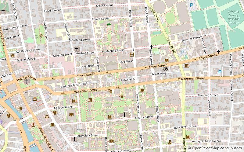
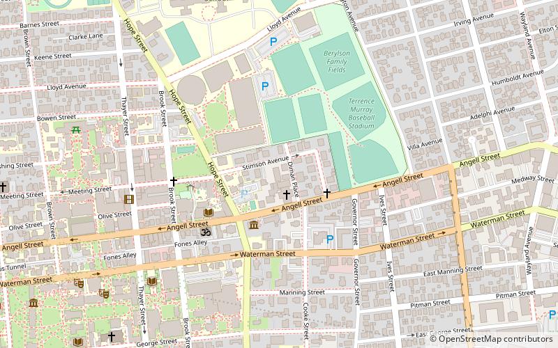
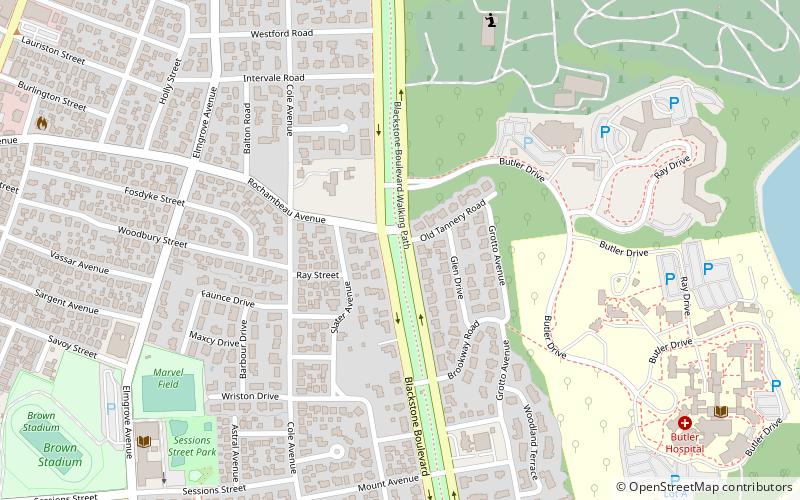
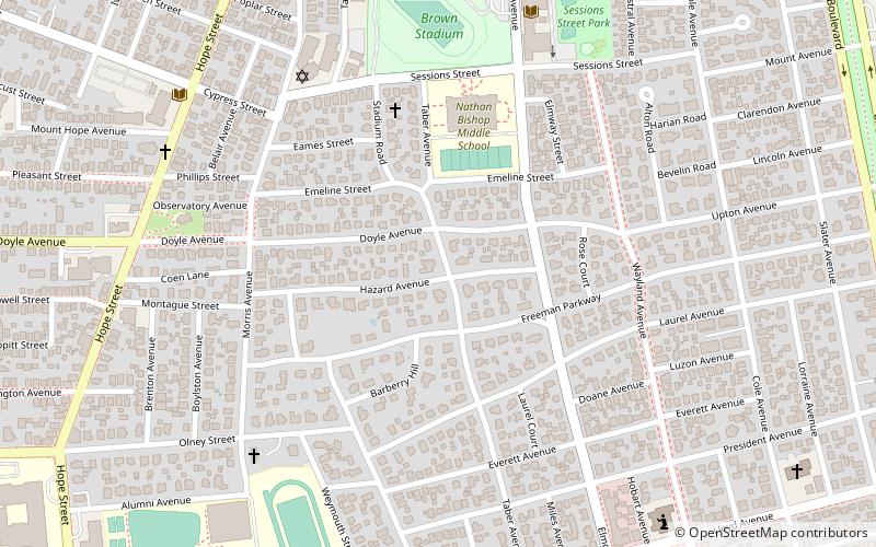
The Freeman Plat Historic District is a residential historic district on the East Side of Providence, Rhode Island. The district is a well-preserved example of an early-20th-century planned residential area, encompassing some 50 acres. It is roughly bounded by Sessions Street, Morris Avenue, Laurel Avenue, and Wayland Avenue, and consists of a network of generously-landscaped winding roads, laid out in consultation with the Olmsted Brothers design firm. The houses built are generally of high quality, many of them architect-designed, with architecturally diverse revival styles popular at the time. The area was developed between 1916 and 1929 by John Freeman, who owned a country estate in the area, and sought a way to develop the largely swampy tract. ()
BlackstoneProvidence
Freeman Plat Historic District – popular in the area (distance from the attraction)
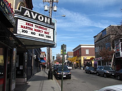
Nearby attractions include: Governor Henry Lippitt House, Avon Cinema, Central Congregational Church, Rites and Reason Theatre.
Frequently Asked Questions (FAQ)
Which popular attractions are close to Freeman Plat Historic District?
How to get to Freeman Plat Historic District by public transport?
Train
- Providence (30 min walk)
Bus
- Memorial and Exchange • Lines: 12x, 14, 21, 30, 65x, 95x (32 min walk)
- Kennedy Plaza Stop Y • Lines: 49, 60 (33 min walk)


