Stimson Avenue Historic District, Providence
Facts and practical information
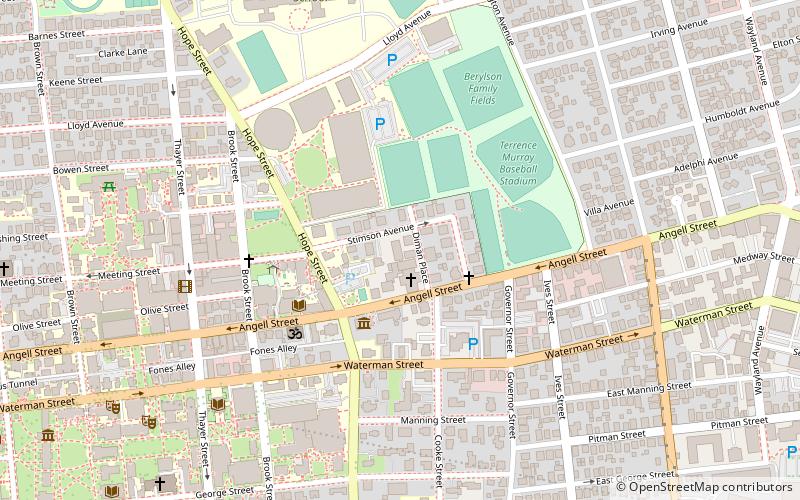
The Stimson Avenue Historic District is a residential historic district on the east side of Providence, Rhode Island. It includes all of Stimson Avenue and Diman Place, as well as adjacent properties on Angell Street on the south and Hope Street on the west, forming a relatively compact rectangular area. This area was developed roughly between 1880 and 1900, and features a collection of high-quality Queen Anne and Colonial Revival houses, with a few earlier Italianate houses at its edges. Among the finest is 19 Stimson Avenue, built in 1890 to a design by Stone, Carpenter & Willson; it is stylistically transitional between Queen Anne and Colonial Revival, featuring elaborate woodwork and a large number of exterior surface finishes, in a predominantly symmetrical Colonial Revival form. The only non-residential structure is the 1893 brick Central Congregational Church at 296 Angell Street. ()
College HillProvidence
- Bus
- Train
 Bus
Bus
- Calculate routeKennedy Plaza Stop Y 22 min walk
- Calculate routeMemorial and Exchange 22 min walk
- Calculate routeExchange Terrace Stop X 22 min walk
- Calculate routeDorrance and Pine 23 min walk
- Calculate routeProvidence 23 min walk


Frequently Asked Questions (FAQ)
Which popular attractions are close to Stimson Avenue Historic District?
How to get to Stimson Avenue Historic District by public transport?
Bus
- Kennedy Plaza Stop Y • Lines: 49, 60 (22 min walk)
- Memorial and Exchange • Lines: 12x, 14, 21, 30, 65x, 95x (22 min walk)
Train
- Providence (23 min walk)