Wayland Square, Providence
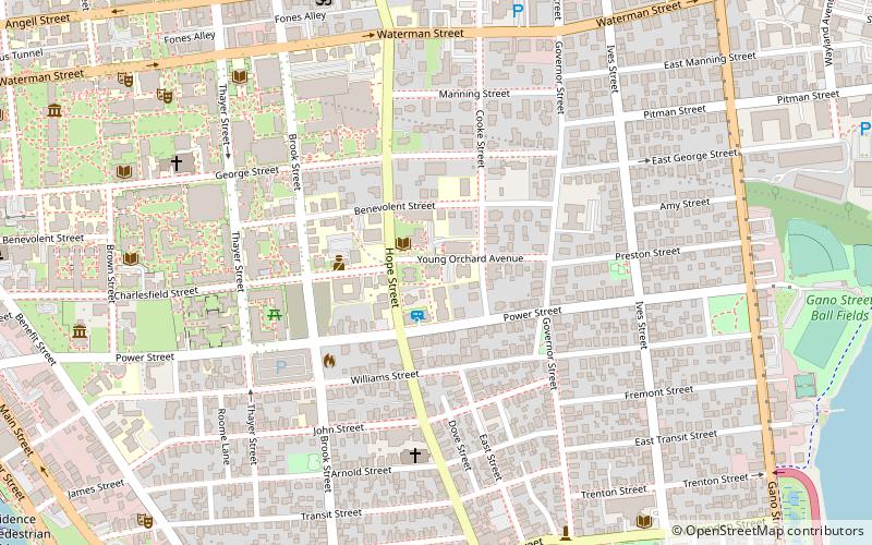
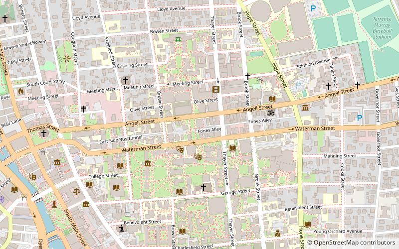
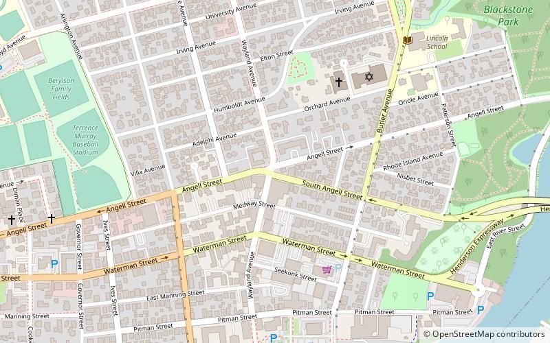
Map
Gallery
Facts and practical information
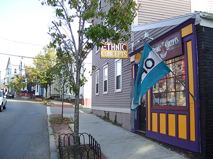
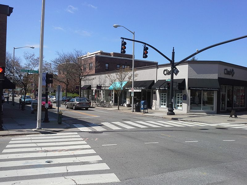
Wayland Square is a historic area on the East Side of Providence, Rhode Island near Brown University and the Rhode Island School of Design. ()
Coordinates: 41°49'48"N, 71°23'16"W
Address
Wayland SquareWaylandProvidence 02906
ContactAdd
Social media
Add
Day trips
Wayland Square – popular in the area (distance from the attraction)
Nearby attractions include: Wickenden Street, Rhode Island Historical Society, Governor Henry Lippitt House, Avon Cinema.
Frequently Asked Questions (FAQ)
Which popular attractions are close to Wayland Square?
Nearby attractions include Wayland, Providence (3 min walk), Saint Martin's Church, Providence (4 min walk), Temple Beth-El, Providence (6 min walk), Blackstone Park Historic District, Providence (11 min walk).
How to get to Wayland Square by public transport?
The nearest stations to Wayland Square:
Bus
Bus
- Dorrance and Pine • Lines: 1, 3, 3A, 3B, 62 (33 min walk)

