Greater Ville, St. Louis
Map

Map

Facts and practical information
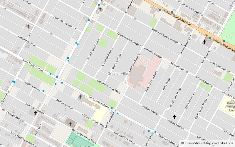
The Greater Ville is a neighborhood of St. Louis, Missouri. The area is bounded by Marcus Avenue on the northwest, Natural Bridge Avenue on the northeast, Dr. Martin Luther King Drive and St. Louis Avenue on the south via North Taylor Avenue and Sarah Street, and North Vandeventer Avenue on the southeast. The Greater Ville surrounds The Ville neighborhood. ()
Coordinates: 38°39'52"N, 90°14'10"W
Day trips
Greater Ville – popular in the area (distance from the attraction)
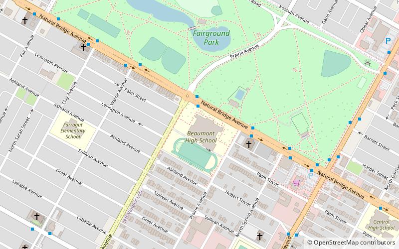
Nearby attractions include: Fairground Park, Second Presbyterian Church, O'Fallon Park, The Ville.
Frequently Asked Questions (FAQ)
Which popular attractions are close to Greater Ville?
Nearby attractions include The Ville, St. Louis (12 min walk), Fairground Park, St. Louis (22 min walk), Kingsway East, St. Louis (24 min walk).


