Kingsway East, St. Louis
Map

Map

Facts and practical information
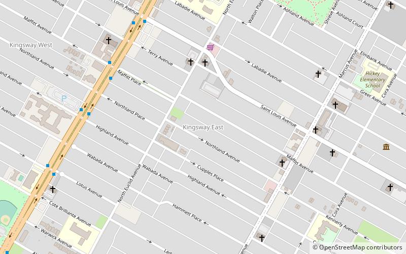
Kingsway East is a neighborhood of St. Louis, Missouri. The neighborhood is generally defined by Natural Bridge on the North, Martin Luther King on the South, Marcus Avenue on the East, and Kingshighway on the West. ()
Coordinates: 38°40'4"N, 90°15'10"W
Day trips
Kingsway East – popular in the area (distance from the attraction)
Nearby attractions include: Washington Terrace, Third Degree Glass Factory, The Ville, Vandeventer.
Frequently Asked Questions (FAQ)
Which popular attractions are close to Kingsway East?
Nearby attractions include Kingsway West, St. Louis (12 min walk), Fountain Park, St. Louis (22 min walk), Lewis Place, St. Louis (23 min walk), The Ville, St. Louis (24 min walk).


